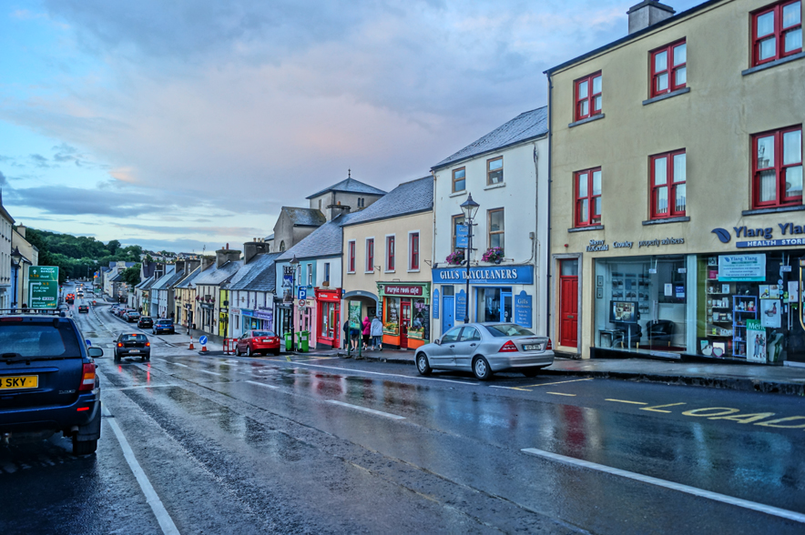
What is recorded here
In a coniferous plantation, straddles a low rise in an area of gently undulating limestone terrain. Ground level dips gradually for c. 50m to S then rises in an E–W series of limestone terraces.
Roughly circular, slightly raised area (34m N–S) defined by an earth and stone bank (Wth 4.6m at NW, c. 3m at S; int. H 0.8m at NW, 0.6m at S; ext. H 1.7m at NW, 1.8m at S). The bank has low internal lip and a high, broad external slump. A loose scattering of small stones covers the narrow, rounded top. At S, an E−W property wall overlies the top of the bank.
The interior appears to be fairly level but is largely obscured by long grass and nettles. There is a small depression (diam. c. 2-3m) without clearly defined edges in the S half. The entrance may have been at SE where the bank appears lower and less substantial, but is now partly obscured by the E−W field wall.
The enclosing bank is densely ringed by hawthorn bushes and brambles; the interior is choked with overgrowth.
According to local information, the rath is known as 'Lisnamaoila' and was used as a children’s burial ground (MA111-050001-).
Compiled by: Jane O'Shaughnessy
Date of upload: 21 December 2022
The monument record does not grant public access. Check the route and ask the landowner before entering private land.
- What survives
- Recorded monument
Places near here
 Chapel (ruin)Church · 1074 yd
 Enclosure in BushfieldEnclosure · 1356 yd
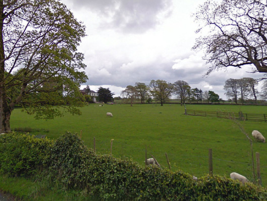 rectory/glebe/vicarage/curate's houserectory/glebe/vicarage/curate's house · 1633 yd
 Enclosure in ShantallowEnclosure · 1634 yd
 Castle (ruin)Castle, unclassified · 1.7 mi
 Bunacrower CastleCastle · 3.1 mi
 SycamoreSycamore · 3.6 mi
 Geoffrey's WoodForest · 3.9 mi
 Land of the GiantsHeritage attraction · 5.3 mi
 Mass RockNamed rock · 10 mi
 Gibbs IslandsIslet · 11 mi
 Matthew IslandIslet · 11 mi
Other information
Photo: Credit not shown in the picture search · Rights wording not checked; contact us if this picture should be removed