What is recorded here
Indicated is a possible rath on a Mayo rise where drainage pulled Lough Crokery back from its peninsula. The 1838 map showed a complete circular enclosure, but later surveying and levelled ground reduced it to faint traces in pasture. It remains a border between memory and forgetting, with water withdrawn just far enough to expose the shape of what was hidden.
In improved pasture, located on a rise in gently undulating terrain, with good views in all directions and overlooking Lough Crokery to NW. On the 1838 OS 6-inch map it is located on a small peninsula which jutted into the S end of the lake; by the time of the 1917 edition drainage has caused the lake levels to recede to a distance of c. 80-100m to N of the enclosure.
This possible rath is depicted on the 1838 OS 6-inch map as a circular enclosure (diam. c. 25m); only the W half is depicted on the 25-inch plan and the 1917 6-inch edition where a fosse and external bank are shown. It has been levelled; slight undulations merging with the natural contours of the rise can be traced at ground level.
Compiled by: Jane O’Shaughnessy
Date of upload: 17 May 2022
The monument record does not grant public access. Check the route and ask the landowner before entering private land.
- What survives
- Recorded monument
Places near here
 IndicatedFairy fort / earthen ringfort · 449 yd
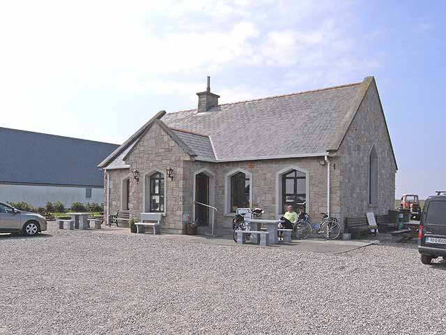 Enclosure in Lissaniska (costello By.)Enclosure · 829 yd
 Catholic Church of Saint Margaret Mary Alacoquechurch/chapel · 1518 yd
 Church (in Ruins)Church · 1.1 mi
 Knock MuseumMuseum · 2.9 mi
 Knock ShrineHeritage attraction · 3.0 mi
 Ballybooley CastleCastle · 3.2 mi
 CastleCastle, unclassified · 4.1 mi
 Oak WoodForest · 6.5 mi
 Geoffrey's WoodForest · 7.2 mi
 Mass RockNamed rock · 16 mi
 Enclosure in BekanEnclosure · 1.1 mi