What is recorded here
Indicated is a buried fairy fort on a SW-facing slope in County Mayo, Ireland. Its shallow bank and forgotten ditch suggest people once drew a clean line around ordinary earth, perhaps to keep out danger or mark a home. The land has since grown back over that decision, leaving only a faint circular shadow beneath grass and stone.
On a SW-facing slope, in field under cultivation. Circular area (42.2m N-S; 41.3m E-W), enclosed by low earthen bank (H 0.3m), with external fosse on S (D 0.3m). Heavily overgrown. Stone field fence bisects NW sector.
The above description has been derived from D. Lavelle (compiler), An Archaeological Survey of Ballinrobe and District including Lough Mask and Lough Carra. Lough Mask and Lough Carra Tourist Development Association (1994), No. 189.
Date of upload: 23 January 2013
The monument record does not grant public access. Check the route and ask the landowner before entering private land.
- What survives
- Recorded monument
Places near here
 IndicatedFairy fort / earthen ringfort · 317 yd
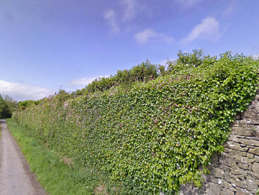 Mount Pleasantwalled garden · 680 yd
 Enclosure in ParksEnclosure · 754 yd
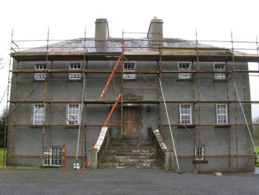 Carrownacon Housefarm house · 1.1 mi
 Castle LucasCastle · 1.2 mi
 Cerberus, from Thomastown HouseMemorial · 1.3 mi
 Doonamona CastleCastle · 1.6 mi
 Lady's IslandIslet · 2.3 mi
 Bird IslandIslet · 2.5 mi
 Redgate ParkWood · 2.6 mi
 Moore Hall Forest TrailWalking route · 2.7 mi
 European hornbeamEuropean hornbeam · 2.7 mi