
What is recorded here
Indicated is a low earthen ringfort near the summit of a Mayo ridge, its thirty-five-metre circle still holding a commanding eastern view though a field fence now cuts through the middle. The land remembers more than the survey admits, perhaps marking a boundary, a meeting place or a forgotten home. What is certain is that the ridge kept its shape while human tools and tenants came and went.
Near summit of ridge, in pasture on E-facing slope; 350m NW [recte c. 250m NE] of ringfort (MA100-010----). Commanding view to E. Circular area (diam. 35m E-W), enclosed by low earthen bank (H 0.2m) SW to E. Bisected by field fence E-W.
The above description has been derived from D. Lavelle (compiler), An Archaeological Survey of Ballinrobe and District including Lough Mask and Lough Carra. Lough Mask and Lough Carra Tourist Development Association (1994), No. 190.
Date of upload: 23 January 2013
The monument record does not grant public access. Check the route and ask the landowner before entering private land.
- What survives
- Recorded monument
Places near here
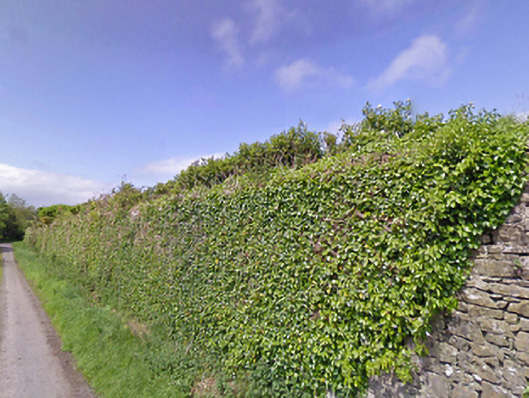 Mount Pleasantwalled garden · 610 yd
 Enclosure in ParksEnclosure · 959 yd
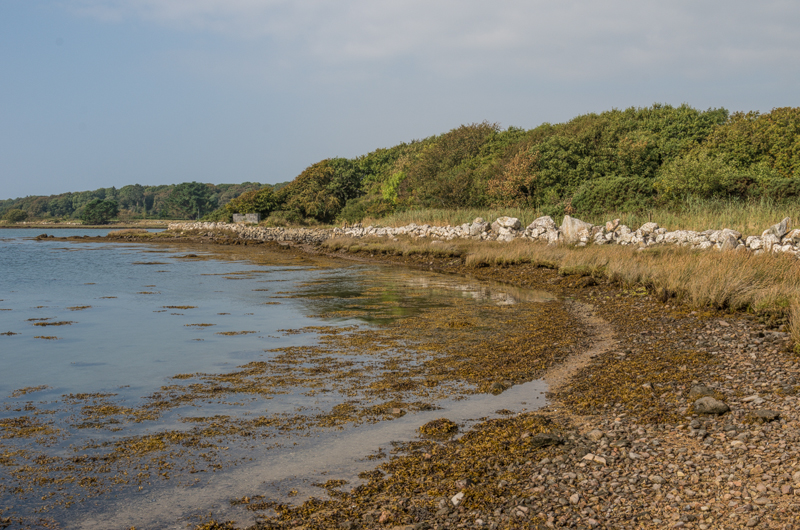 Enclosure in Rusheen OR ThomastownEnclosure · 1139 yd
 Castle LucasCastle · 1.1 mi
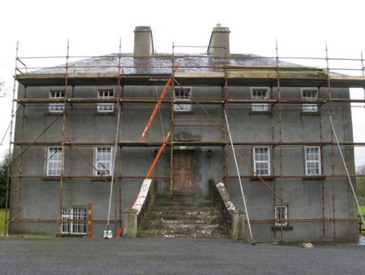 Carrownacon Housefarm house · 1.2 mi
 Cerberus, from Thomastown HouseMemorial · 1.4 mi
 Doonamona CastleCastle · 1.5 mi
 Lady's IslandIslet · 2.5 mi
 Bird IslandIslet · 2.7 mi
 Redgate ParkWood · 2.8 mi
 Moore Hall Forest TrailWalking route · 2.8 mi
 European hornbeamEuropean hornbeam · 2.9 mi
Other information
Photo: Credit not shown in the picture search · Rights wording not checked; contact us if this picture should be removed