What is recorded here
In pasture, encompassing the top of a low hill overlooking Curragh Lough, which lies c. 30m to SE. Another lake, Cullentragh Lough, is c. 250m to NW, with much of the intervening boggy land between it and the rath now under forestry. Circular platform (44.8m N–S; 46.9m E–W) defined by a scarp (H 2.2m at N; 2m at S) topped with a low internal lip (Wth 1.2m), with an intermittent inner stone kerb of large stones surviving SW–NW. The external face of the scarp is quite vertical, with remnants of stone facing to a height of 1.4m at SE−NW, suggesting relatively recent modification. This is most likely related to a laneway, which is shown skirting the W half of the rath on the 1838 OS 6-inch map but is not shown on later editions. A broad berm-like terrace (Wth 6.6m) defined by a vertical external scarp (H 1.6m) curves around the rath at NW–NE, intersecting with later field fences at N and NE, possibly preserving the line of a fosse and outer bank. A slight terrace is also apparent SE–SW merging with a natural contour. The entrance may have been at ESE where the enclosing scarp (H 1.4m) is low and slumped and faces the side of the hill with the gentlest slope. The interior has a gently domed profile, with the highest point slightly N of centre and a gradual slope down, more marked at E, from there towards the enclosing scarp. Grass cover. The forestry plantation comes to within 5m of the NE arc of the rath.
In pasture, encompassing the top of a low hill overlooking Curragh Lough, which lies c. 30m to SE. Another lake, Cullentragh Lough, is c. 250m to NW, with much of the intervening boggy land between it and the rath now under forestry. Circular platform (44.8m N–S; 46.9m E–W) defined by a scarp (H 2.2m at N; 2m at S) topped with a low internal lip (Wth 1.2m), with an intermittent inner stone kerb of large stones…
From the National Monuments Service (Archaeological Survey of Ireland) record MA092-049
The monument record does not grant public access. Check the route and ask the landowner before entering private land.
- What survives
- Recorded monument
Places near here
Photo credits
- National Inventory of Architectural Heritage
- Mike Searle, Geograph · CC BY-SA 2.0
- Paul Cowan, Wikimedia Commons · CC BY-SA 2.0
- David Purchase, Geograph · Creative Commons Attribution-ShareAlike 2.0
- Willow, Wikimedia Commons · CC BY 2.5
- Andreas F. Borchert, Wikimedia Commons · CC BY-SA 4.0
- Steve & Jemma Copley on Flickr, Wikimedia Commons · CC BY-SA 2.0
- C Michael Hogan, Geograph · CC BY-SA 2.0
- Jon Sullivan, Wikimedia Commons · CC0
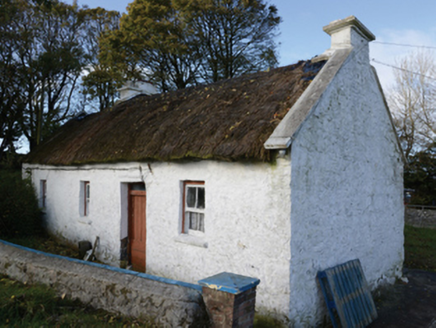 farm house651 yd
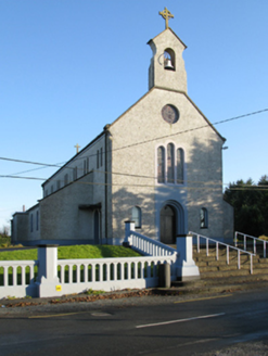 Catholic Church of Saint Margaret Mary AlacoqueChurch/chapel · 1.5 mi
 CastleCastle, unclassified · 2.3 mi
 IndicatedHouse, fortified house · 2.3 mi
 Mannin HouseFarm house · 2.3 mi
 Knock ShrineHeritage attraction · 2.4 mi
 Grave YardGraveyard · 3.8 mi
 European ash17 mi
 Cloigtheach (Round Tower)Round tower · 17 mi
 Silver Fir24 mi
 Ashford castleViewpoint · 25 mi
 Caves of KeshCave · 25 mi
More archaeology and monuments in County Mayo · All of County Mayo
What do you know about this place?