What is recorded here
On flat, very gently undulating terrain at base of NW-SE running ridge, sloping to SW, in pasture. Rectangular enclosure indicated on the 1st (1840) ed. OS 6-inch map and identified on aerial photographs (Air Corps V.312/3086-5 and GSI S.506/5 June 1973). Visible as a raised area (dims. 29.5m NNE-SSW; 42.4m E-W) defined by shallow scarp (H 0.45; Wth 8m). Moated site not as well defined as on aerial photograph, no discernible fosse above ground. Landowner had noted the rise in the field.
Compiled by: Jean Farrelly
Date of revised upload: 5 January 2015
The monument record does not grant public access. Check the route and ask the landowner before entering private land.
- What survives
- Recorded monument
Places near here
 Church (in ruins)Church · 1329 yd
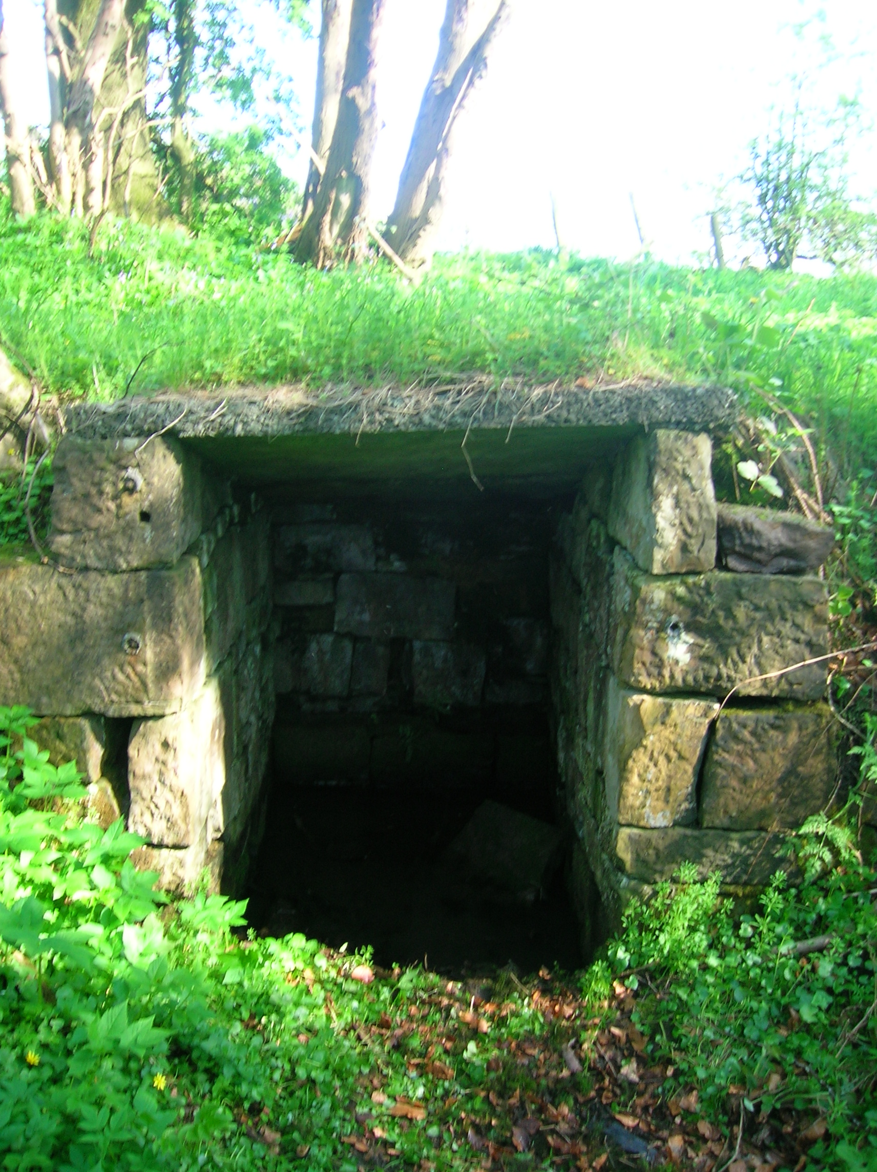 Ladys WellHoly well · 1608 yd
 Milltown Househouse · 1747 yd
 Enclosure in MullenarankyEnclosure · 1.0 mi
 Ballyboe FortCastle, motte and bailey · 1.1 mi
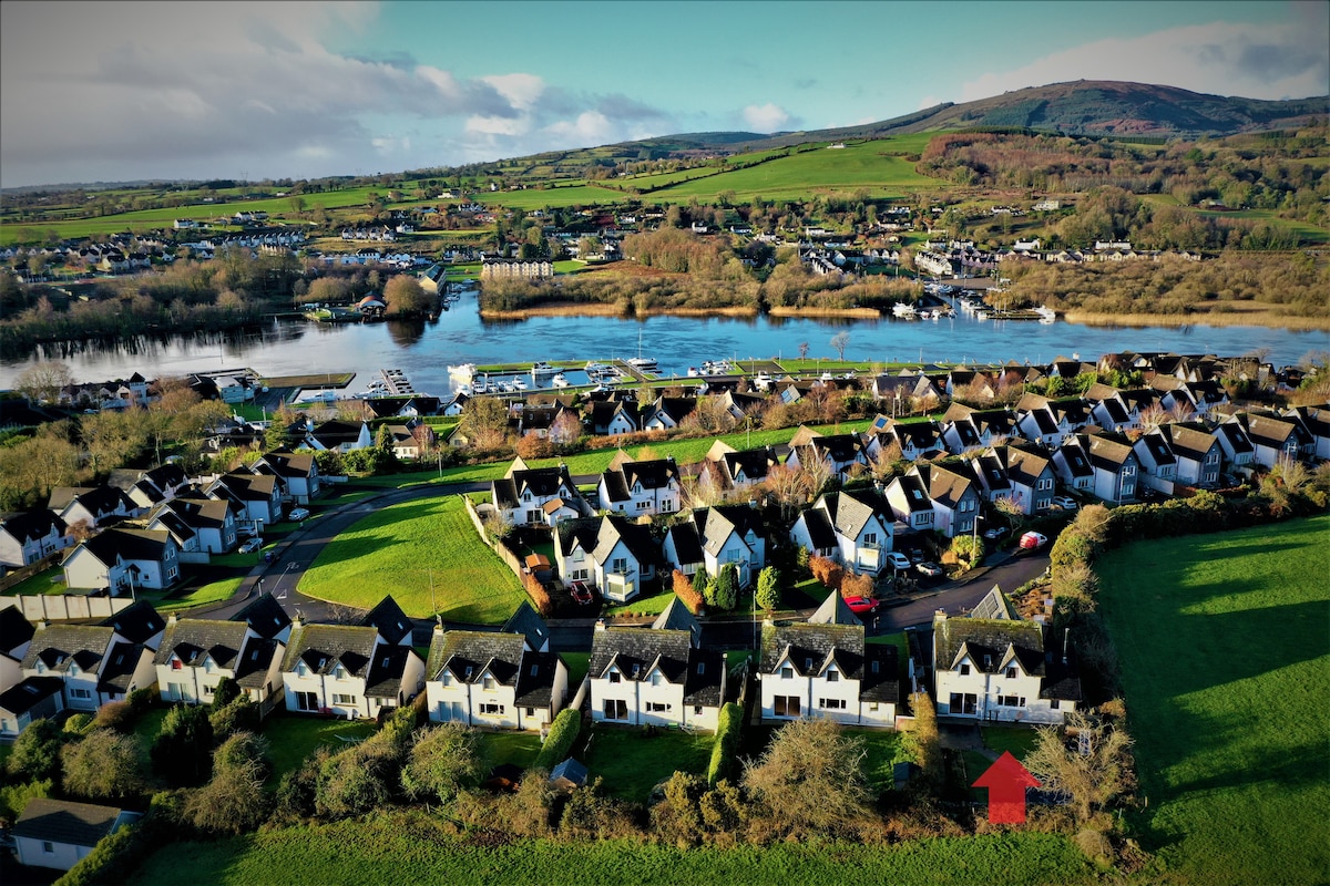 Ballina HouseCastle, unclassified · 1.5 mi
 CarrickbrockMountain / peak · 2.0 mi
 Persian WalnutPersian Walnut · 2.2 mi
 Common LimeCommon Lime · 2.4 mi
 CarrigdotiaMountain / peak · 2.5 mi
 RetrospectMemorial · 4.7 mi
 Charles BianconiMemorial · 4.8 mi