What is recorded here
In reclaimed pasture, straddling a gentle S-facing slope. This rath is not indicated on the 1838 OS 6-inch map; it is shown on the 1915 edition as a hachured circular enclosure. When inspected in 1984, it consisted of a circular area (diam. 28m E-W) enclosed by a substantial earthen bank (H 2-2.5m) with no indications…
Read the whole record
In reclaimed pasture, straddling a gentle S-facing slope. This rath is not indicated on the 1838 OS 6-inch map; it is shown on the 1915 edition as a hachured circular enclosure. When inspected in 1984, it consisted of a circular area (diam. 28m E-W) enclosed by a substantial earthen bank (H 2-2.5m) with no indications of a fosse (SMR file). There was no trace of graves associated with traditional use of the rath as a children's burial ground (MA119-001003-). Possible earthworks (MA119-001002-) were noted in the field to SW of the rath. The rath was levelled during land reclamation in the late 1980’s/early 1990’s. When inspected in 2000, the ephemeral outline of a levelled bank could still be traced NW–NE, and at SE-S where it merges with a natural break of slope.
From the National Monuments Service (Archaeological Survey of Ireland) record MA119-001001
Places near here
Photo credits
- National Inventory of Architectural Heritage
- Christian Pirkl, Wikimedia Commons · CC BY-SA 3.0 at
- Mike Searle, Wikimedia Commons · CC BY-SA 2.0
- Geograph contributor · CC BY-SA 2.0
- Sitomon, Wikimedia Commons · CC BY-SA 2.0
- Nigel Thompson, Geograph · Creative Commons Attribution-ShareAlike 2.0
- Andreas F. Borchert, Wikimedia Commons · CC BY-SA 4.0
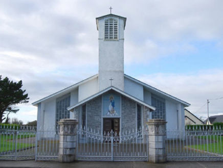 Catholic Church of the Immaculate ConceptionGates/railings/walls · 636 yd
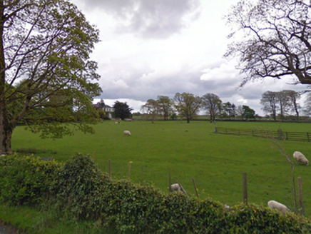 rectory/glebe/vicarage/curate's house681 yd
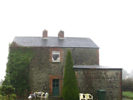 Hollymount Railway StationStation master's house · 1104 yd
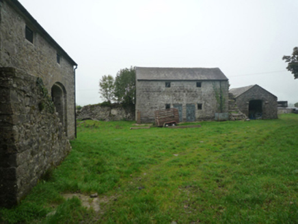 BushfieldFarmyard complex · 1.1 mi
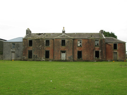 Kilrush HouseSchool · 1.2 mi
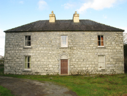 Carranvilla HouseFarm house · 1.4 mi
 Sycamore2.8 mi
 Cloonagashel CastleCastle · 2.9 mi
 Killernan CastleCastle · 3.6 mi
 European Yew4.6 mi
 Grave YardGraveyard · 9.6 mi
 Cloigtheach (Round Tower)Round tower · 11 mi
More archaeology and monuments in County Mayo · All of County Mayo

What do you know about this place?Tap to add a comment or ask a question