What is recorded here
Located on the narrow top of an ENE−WSW ridge, at its ENE end where there are very good views over the surrounding landscape. There is a steep fall of ground to S into a valley of flat, wettish pasture bordered to S by another ridge on which another rath (MA080-031----) is located. At N ground falls away to an area of undulating terrain. There is a farmyard 30m to E.
This rath is indicated on the 1838 OS 6-inch map as a circular embanked enclosure (diam. c. 30m); it is not shown on later map editions.
The rath has been levelled, but the faint outline of a slightly raised circular area (diam. 29.5m) defined by a low undulation/levelled scarp can still be discerned. The remains are boxed into a small rectangular field of the modern era: the rath is located at the W end of this field and spans its full N−S width so that straight field walls overlie or truncate the rath perimeter at S, W and N, but the levelled scarp be can be traced as a curving undulation at NNE−SE. At SE a few large stones protrude from the scarp; these may be remnants of a stone facing or kerb. The interior of the rath is level and featureless. A boulder set in the levelled scarp at SSE overhangs a cavity, possibly indicating a Man-made underground passage (MA080-010001-).
Compiled by: Jane O’Shaughnessy
Date of upload: 25 November 2021
The monument record does not grant public access. Check the route and ask the landowner before entering private land.
- What survives
- Recorded monument
Places near here
 Kilkevna Church in ruinsChurch · 490 yd
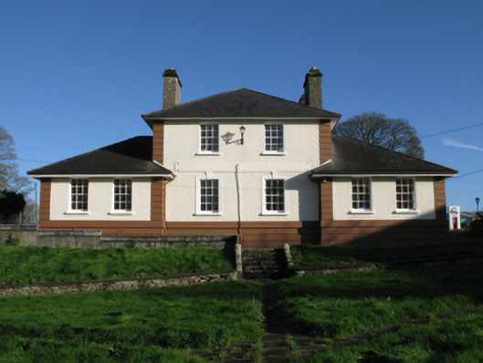 Kiltimagh Cottage Hospitalhospital/infirmary · 745 yd
 CrossCross · 747 yd
 IndicatedFairy fort / earthen ringfort · 924 yd
 I'll Send You The FareMemorial · 1072 yd
 Kiltimagh MuseumMuseum · 1384 yd
 Carrowbeg WoodWood · 2.4 mi
 CashlankeeghCastle, unclassified · 2.5 mi
 Thorn CaveCave · 2.8 mi
 Castle in ruinsCastle, tower house · 4.7 mi
 Knock ShrineHeritage attraction · 5.8 mi
 East Mayo Brigade MonumentMemorial · 6.0 mi