What is recorded here
Indicated is a Cavan fairy fort where the original entrance has vanished beneath modern paths and forgotten feet. Its low earthen bank still surrounds a shallow oval of soil, yet the true doorway has become impossible to recognize. The fort may have tested whether people still knew which way inward, preserving life in the hidden difference between a boundary and a entrance.
Not marked on OS 1836 ed. Indicated on 1876 ed. Raised oval area (int. dims. c. 24m NE-SW; c. 19m NW-SE) enclosed by a low earthen bank and a very shallow fosse encircled from NW-N-NNE by traces of a low outer bank. Modern entrances at W, NE and SE. Original entrance not recognisable.
The above description is derived from the published 'Archaeological Inventory of County Cavan' (Dublin: Stationery Office, 1995). In certain instances the entries have been revised and updated in the light of recent research.
Date of upload/revision: 22 December 2008
Lisnalea is a likely early-medieval ringfort, indicated on the 1876 Ordnance Survey map but not the 1836 edition, featuring an oval enclosure with internal dimensions of approximately 24m by 19m. It is traditionally associated with fairy folklore, as the name "Lisnalea" may derive from "Lios na Leith," meaning "fairy enclosure of the lake," reflecting its possible role as a fairy fort in local tradition.
The monument record does not grant public access. Check the route and ask the landowner before entering private land.
- What survives
- Recorded monument
Places near here
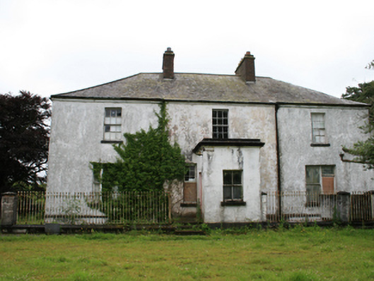 rectory/glebe/vicarage/curate's houserectory/glebe/vicarage/curate's house · 447 yd
 CastleCastle, motte · 1063 yd
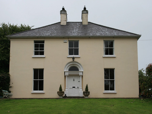 Urcher Mansemanse · 1154 yd
 Tullynaskeagh WestForest · 1.2 mi
 CarnalynchMountain / peak · 1.2 mi
 CarnagarveMountain / peak · 1.4 mi
 Tullynaskeagh EastForest · 1.5 mi
 In Memory of Patrick KiernanMemorial · 1.8 mi
 Brothers GravesVisitor information · 1.8 mi
 Drumbannan FortArchaeological place · 2.0 mi
 IndicatedFairy fort / earthen ringfort · 2.3 mi
 MoatCastle, motte and bailey · 2.3 mi