
What is recorded here
Situated on high ground in pasture with extensive views from SE to NW. Area of site 'Church' (KE029-033001-) also known locally as 'Tempaleen' (Kerry Field Club) covered in overgrowth at time of inspection. Lismore House 230m to SE. Located in the townland of Lismore, Parish of Ratass, Diocese of Ardfert, Barony of…
Read the whole record
From the National Monuments Service (Archaeological Survey of Ireland) record KE029-033003
Places near here
Photo credits
- Maker not stated on source page, www.flickr.com
- Maker not stated on source page, ru.pinterest.com
- Maker not stated on source page, www.agriland.ie
- Maker not stated on source page, nexusnewsfeed.com
- Maker not stated on source page, uk.pinterest.com
- Maker not stated on source page, www.istockphoto.com
- Maker not stated on source page, commons.wikimedia.org
- National Inventory of Architectural Heritage
 Fairy fort / earthen ringfort in LismoreFairy fort / earthen ringfort · 408 yd
Explorer Tom Fairy fort / earthen ringfort in Lismore would survive a zombie attack by just closing its gate. It's clever like that…
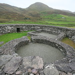 Enclosure in Laharan (trughanacmy By., Doon Ed)Enclosure · 518 yd
Explorer Tom Enclosure in Laharan would definitely get an epitaph saying 'Here lies a circle that tried its best and then got lazy.'…
Fairy fort / earthen ringfort in LissatanvallyFairy fort / earthen ringfort · 529 ydExplorer Tom Fairy fort / earthen ringfort in Lissatanvally was famously ignored by a bishop who said it wasn’t holy enough, which…
 Holy well in LismoreHoly well · 787 yd
Explorer Tom Holy well in Lismore is having a serious falling out with the nearest tree over who gets the sun. It claims the crown…
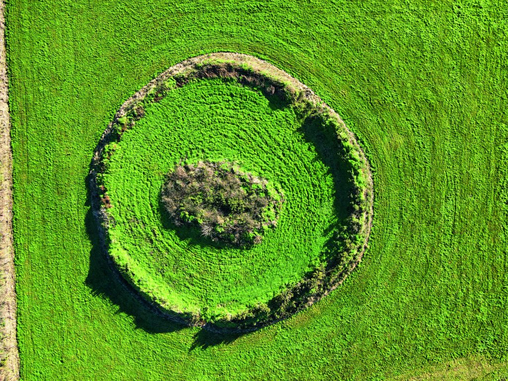 Fairy fort / earthen ringfort in Garrane (trughanacmy By.)Fairy fort / earthen ringfort · 1327 yd
Explorer Tom It thinks Dublin tourists are noisy, rude, and smell like overpriced coffee, so it hides deep in the hills. It’s got a…
 Fairy fort / earthen ringfort in DromthackerFairy fort / earthen ringfort · 1346 yd
Explorer Tom Fairy fort / earthen ringfort in Dromthacker hosted a dance that went so far it ended up in the next century. Nobody…
 Fairy fort / earthen ringfort in Curravogh SouthFairy fort / earthen ringfort · 1351 yd
Explorer Tom Another fairy fort in Curravogh South is locked in a feud with the next village over something incredibly daft, like…
 Fairy fort / earthen ringfort in BallintobeenigFairy fort / earthen ringfort · 1505 yd
Explorer Tom Fairy fort / earthen ringfort in Ballintobeenig has a secret talent for holding breath for centuries without anyone…
Fairy fort / earthen ringfort in Lissanearla WestFairy fort / earthen ringfort · 1555 ydExplorer Tom Fairy fort / earthen ringfort in Lissanearla West is playing hard to get. If it won the lottery, it’d buy a bigger hill…
 Church in BallintobeenigChurch · 1.2 mi
Explorer Tom Church in Ballintobeenig is confused because the map makers got the location wrong, so now it’s hiding behind a well.…
 Ballybeggan Castle ruinsRuins · 1.4 mi
Explorer Tom Ballybeggan Castle ruins is secretly proud of the one potato growing in its corner, treating it like a royal heir. The…
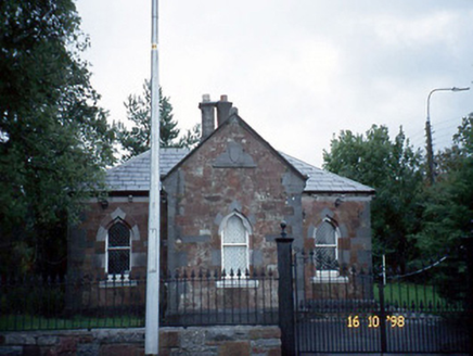 Collis-Sandes HouseGate lodge · 1.6 mi
Explorer Tom Collis-Sandes House is a gate lodge with a secret message carved into its stones, probably just saying 'leave me…
More archaeology and monuments in County Kerry · All of County Kerry

What do you know about this place?Tap to add a comment or ask a question