What is recorded here
Indicated is a subcircular cashel in County Clare, Ireland, where a grass-covered rubble wall still marks the edge of an old lived space. The road has cut through one side, yet the remaining curve suggests people shaped that land before the pasture swallowed the truth. It is not a display or a legend, but a boundary made visible: a small circle of stone and memory waiting to be recognized.
On a slight rise in hilly pasture, overlooked by higher ground to the E and SE. Hachured on both the first (1842) and Cassini (1920) editions of the OS 6-inch map, and labelled ‘Lislorkan’ on the latter. Listed as ‘Ringfort’ in the RMP (1996). This subcircular cashel (diams. 28.5m E-W; 26.5m N-S) is defined from W-N-NE by a grass-covered rubble wall and associated collapse (combined Wth 3m; max. H 0.6m). The monument is bisected by a stone wall running ENE-WSW across the interior and the enclosing element has been reduced to a low scarp on either side of this wall at ENE. From E-SE-SSW, the enclosing element only survives as a low overgrown stony scarp (H 0.4m) which rises at SSW(H 1.9m) , where it has also been partly dug away. The cashel is truncated from WSW-W by a public road. Outside the cashel wall from WNW-NE, a faint depression (Wth 2m), suggests an external fosse. The cashel interior is level and contains field-clearance rubble in the S sector.
Compiled by: Gearóid Conroy and Conn Herriott
Date of upload: 6-10-2025
The monument record does not grant public access. Check the route and ask the landowner before entering private land.
- What survives
- Recorded monument
Places near here
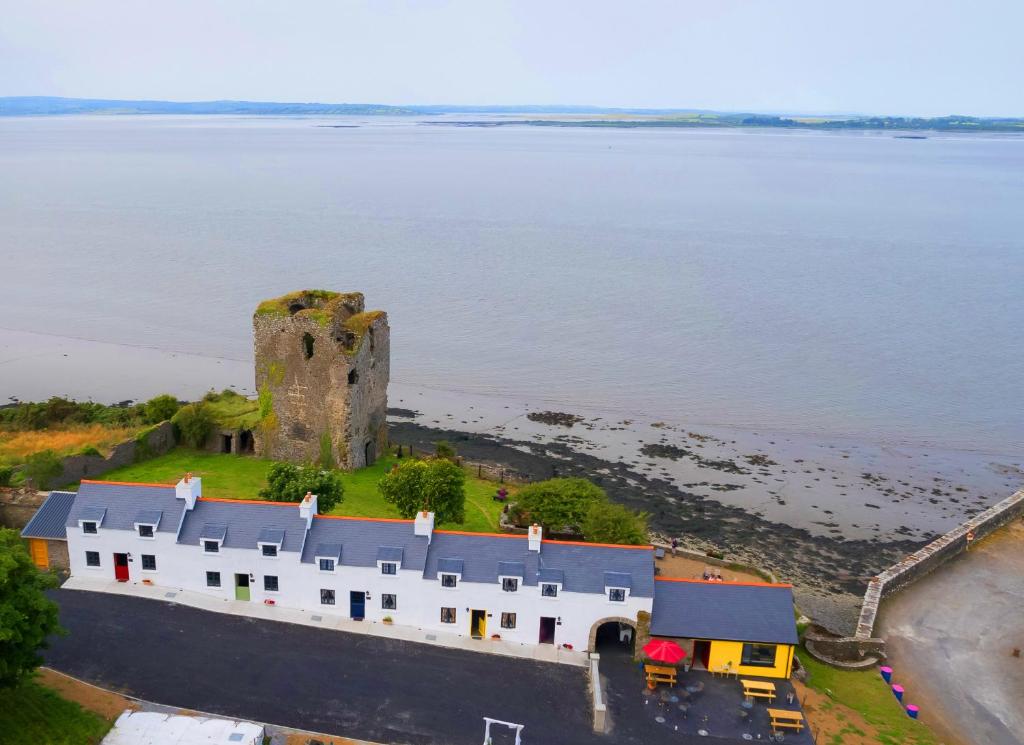 IndicatedFairy fort / stone ringfort · 210 yd
 Saint Bridget's Wellholy well · 911 yd
 St Bridgets WellHoly well · 916 yd
 Bridget's Well;St Bridget's WellSpring · 919 yd
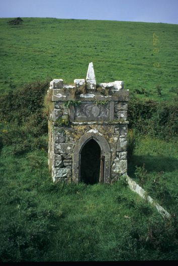 Spa Wellwell · 949 yd
 John P. Holland CentreMuseum · 1.1 mi
 Liscannor Castle (in Ruins)Castle, tower house · 1.3 mi
 Cliffs of Moher Visitor CentreVisitor information · 1.5 mi
 CastleCastle, unclassified · 1.7 mi
 Cliffs of MoherCliff · 1.7 mi
 Sea StackMountain / peak · 1.8 mi
 Sightseeing Cliffs of Moher SouthViewpoint · 2.4 mi