What is recorded here
In pasture on steep S-facing slope. Semi-circular curve (SW->N) in overgrown earthen field bank (H 1.30m) respects line of enclosure. No other surface traces visible. Locally known as 'fort field'.
From the National Monuments Service (Archaeological Survey of Ireland) record CO136-054
Places near here
Photo credits
- National Inventory of Architectural Heritage
- David Sands, Geograph · CC BY-SA 2.0
- Jonathan Thacker, Geograph · Creative Commons Attribution-ShareAlike 2.0
- Ingo Mehling, Wikimedia Commons · CC BY-SA 3.0
- Steve Edge, Geograph · CC BY-SA 2.0
- Mike Searle, Wikimedia Commons · CC BY-SA 2.0
- Jonathan Pascall, Geograph · CC BY-SA 2.0
- Hywel Williams, Geograph · CC BY-SA 2.0
- Neville Goodman, Geograph · CC BY-SA 2.0
- Maker named on the Wikimedia Commons picture page · Public domain
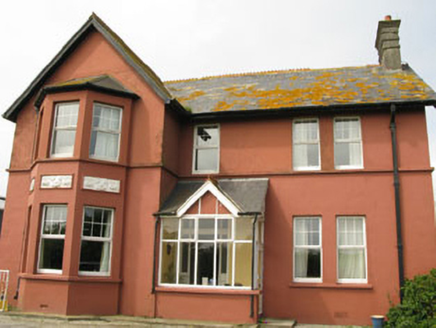 Lislevane HouseHouse · 985 yd
 St Mary's Roman Catholic ChurchChurch/chapel · 1687 yd
 Dunworly BeachBeach / strand · 2.1 mi
 Graveyard2.2 mi
Explorer Tom Graveyard in Timoleague was used after the friary was plundered in 1612. Sean O Coileain is buried here, so you’re walking on poetry history now. The ground level is higher than original because of all the burials. Mind your step!
 Timoleague AbbeyHeritage attraction · 2.3 mi
 Grave YardGraveyard · 2.5 mi
Explorer Tom Graveyard in Lisleetemple has headstones from the late 18th century to today, sitting next to a current Church of Ireland church on the site of an older one. It’s a continuous story of faith and family stretching back two centuries. Have a wander through!
 Broad StrandBeach / strand · 3.0 mi
 Ballinoroher CastleCastle · 3.8 mi
 Inchydoney BeachBeach / strand · 3.8 mi
 Trinity WellSpring · 4.3 mi
 Clonakilty HarbourBay · 4.5 mi
 English holly4.7 mi
More archaeology and monuments in County Cork · All of County Cork

What do you know about this place?Tap to add a comment or ask a question