What is recorded here
On W-facing slope of a hill, 100m WNW of Liskelly House. Well-preserved almost circular platform (E-W 44.7m, SSE-NNW 44m) up to 2.75m in height at SW. Its perimeter is defined by faint intermittent traces of an earthen bank and by a ring of mature trees. No trace of an original entrance is visible. The grass-covered interior is generally flat save for some stone foundations in NE quadrant. An earthwork (GA099-136----) lies 50m to W.
The above description is derived from the published 'Archaeological Inventory of County Galway Vol. II - North Galway'. Compiled by Olive Alcock, Kathy de hÓra and Paul Gosling (Dublin: Stationery Office, 1999).
Date of upload: 05 August 2010
The monument record does not grant public access. Check the route and ask the landowner before entering private land.
- What survives
- Recorded monument
Places near here
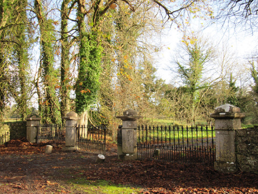 Liskelly Housedemesne walls/gates/railings · 296 yd
 IndicatedFairy fort / earthen ringfort · 1345 yd
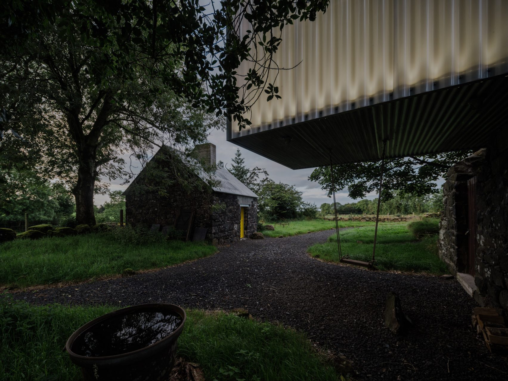 Enclosure in TristaunEnclosure · 1430 yd
 The bloody HollowHeritage attraction · 1.0 mi
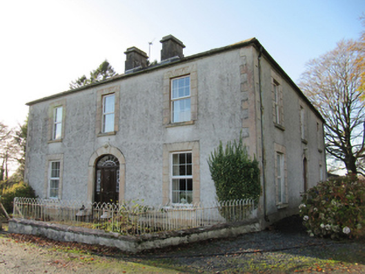 Cartron Househouse · 1.0 mi
 Battle of AughrimMajor battlefield · 1.2 mi
 Ballagh Castle (in Ruins)Castle, unclassified · 1.2 mi
 Urraghry HillMountain / peak · 1.7 mi
 Bawn in Cooltymurraghy (clonmacnowen By.)Bawn · 1.8 mi
 Battle of Aughrim Interpretative CentreMuseum · 1.8 mi
 Oak WoodWood · 2.7 mi
 European BeechEuropean Beech · 3.0 mi