What is recorded here
It is depicted as a small island feature in the N subrectangular part of Black Lough (max. dims c. 380-560m NNW-SSE; c. 370m ENE-WSW). This is a subcircular cairn (dims 9m x 7m; H 0.5m over the water) with some trees composed of stones but no structural features are evident.
The above description is derived from the published 'Archaeological Inventory of County Monaghan' (Dublin: Stationery Office, 1986). In certain instances the entries have been revised and updated in the light of recent research.
Revised by: Michael Moore
Date of revision: 30 January 2018
The monument record does not grant public access. Check the route and ask the landowner before entering private land.
- What survives
- Recorded monument
Places near here
 IndicatedCrannog · 429 yd
 Loughbawn Housegates/railings/walls · 456 yd
 Lisinisky fortFairy fort / earthen ringfort · 756 yd
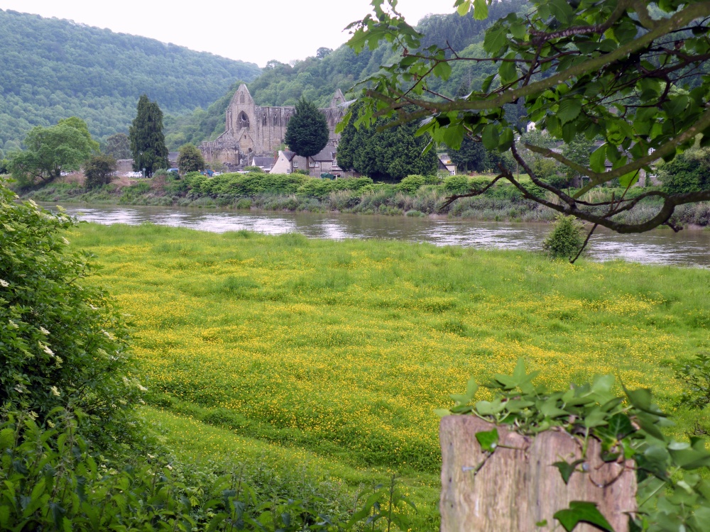 Abbey RunsHouse, 17th century · 868 yd
 Senator Billy Fox 1939 - 1974Memorial · 1.2 mi
 CarrickcreenyMountain / peak · 2.1 mi
 Gull IslandIslet · 2.7 mi
 Kilmacaran IslandIslet · 2.8 mi
 Sillan LakeshoreWood · 2.9 mi
 Annsfort MillsWood · 3.1 mi
 Bawn in LisdrumskeaBawn · 3.2 mi
 AghagashlanMountain / peak · 3.5 mi