What is recorded here
In elevated level pasture. Roughly circular area (116m N-S; 104m E-W) defined by scarped edge (H 0.35m; Wth 2m), with intervening fosse (D 0.4m; Wth 1.5m) and external earthen bank (int. H 1m; ext. H 1.6m) SW->NW, and with external fosse (D 0.4m; Wth 4m) SW->NW. Scarped edge is indistinct and discontinuous NW->SW. Bank, which is obscured by overgrowth, may be part of surrounding field boundary system.
Compiled by: Denis Power
Date of upload: 26 August 2011
Lisheensheela is a roughly circular early-medieval ringfort, likely dating to between the 6th and 10th centuries, characterised by a scarped enclosure, fosse, and external bank. Local tradition associates such sites with the "good people" or fairies, and the name may derive from a personal name linked to legendary or folkloric figures.
The monument record does not grant public access. Check the route and ask the landowner before entering private land.
- What survives
- Recorded monument
Places near here
 Moated site in BallinruaneMoated site · 615 yd
 CastleCastle, unclassified · 1359 yd
 Church (in ruins)Church · 1.0 mi
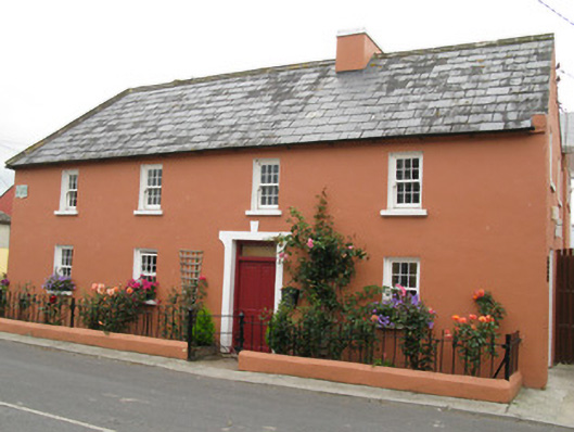 Áras Ídehouse · 1.1 mi
 Moated site in AhadaghMoated site · 1.3 mi
 Garbally WellSpring · 1.6 mi
 ToberhoranSpring · 1.9 mi
 Mayne Ho.Castle, unclassified · 2.2 mi
 National Co-op MuseumMuseum · 4.4 mi
 Famine stoneMemorial · 6.0 mi
 KnockfeerinaMountain / peak · 6.3 mi
 Ballagh MountainMountain / peak · 8.0 mi