
What is recorded here
Indicated is a circular fairy fort atop a Cork hill, its earthen bank rising one metre above pasture and dropping into a shallow western ditch. The stone-faced edge suggests human hands shaped the rim before forgetting the name, while the southern gap still invites entry. Cattle graze the interior now, reducing ancient boundary to grass and shadow.
In pasture, atop hill. Circular area (25.4m N-S; 25.4m E-W) enclosed by earthen bank (H 1.1m); external fosse (D 0.4m) to NW. Bank stone faced externally, where laneway skirts site N->ESE. Gap in bank to SW (Wth 1.1m).
The above description is derived from the published 'Archaeological Inventory of County Cork. Volume 1: West Cork' (Dublin: Stationery Office, 1992). In certain instances the entries have been revised and updated in the light of recent research.
Date of upload/revision: 14 January 2009
The monument record does not grant public access. Check the route and ask the landowner before entering private land.
- What survives
- Recorded monument
Places near here
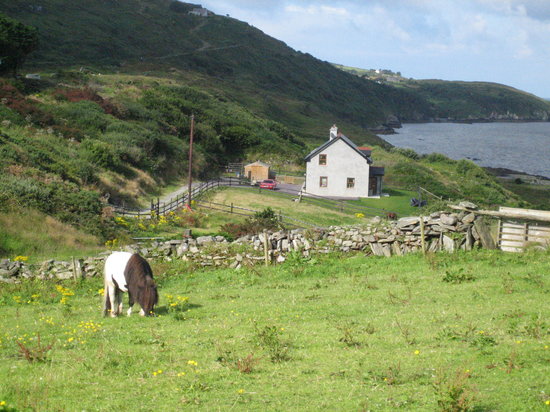 TobermurryHoly well · 451 yd
 Grave YdGraveyard · 503 yd
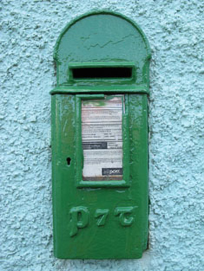 post boxpost box · 1472 yd
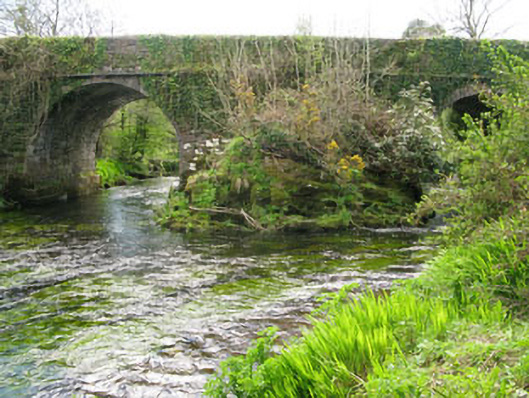 Lisheen Bridgebridge · 1674 yd
 Kealkill stone circleVisitor information · 1.0 mi
 Carriganass CastleCastle · 1.1 mi
 Bulls PocketMountain / peak · 1.3 mi
 KnockbreteenMountain / peak · 2.1 mi
 Daly's LoopWalking route · 2.3 mi
 Castle (in Ruins)House, fortified house · 2.6 mi
 Snave StrandBeach / strand · 2.6 mi
 Coomhola Salmon Trust (Streamscapes)Museum · 2.7 mi
Other information
Photo: Credit not shown in the picture search · Rights wording not checked; contact us if this picture should be removed