What is recorded here
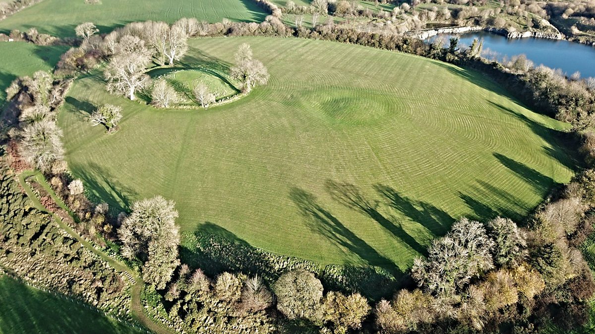
Located just off the S end of a N-S drumlin ridge. This is a grass- and rush-covered circular earthen platform (diam. 39m E-W; 38.5m N-S; H 0.8m) defined by a flat-bottomed fosse (Wth of top 4-6.5m; Wth of base 2.8-3.5m) and an outer bank (Wth 3.8-4.7m; int. H 1-1.7m; ext. H 0.3m) with a hedge. The fosse is recut as a field drain E-S and the bank is adapted as a field bank N-E. There are many gaps in the bank but an original entrance is not identified. It may be a ringfort.
The above description is derived from 'The Archaeological Inventory of County Leitrim' compiled by Michael J. Moore (Dublin: Stationery Office, 2003). In certain instances the entries have been revised and updated in the light of recent research.
Date of upload: 23 September 2008
Neolithic circular earthen platform, c. 4000–2500 BCE, potentially a ceremonial or ritual site. Its construction and surrounding fosse suggest significance in early agrarian settlement or communal activity in the region.
The monument record does not grant public access. Check the route and ask the landowner before entering private land.
- What survives
- Recorded monument
Places near here
 Fairy fort / earthen ringfort in Aghalough (carrigallen By., Aghavas Ed)Fairy fort / earthen ringfort · 1.3 mi
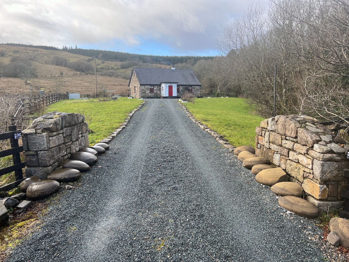 Embanked enclosureFairy fort / earthen ringfort · 1.5 mi
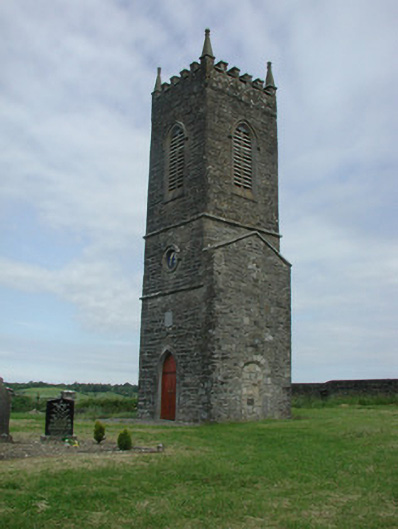 Saint James's Church (Cloone)church/chapel · 2.5 mi
 St Jamess ChChurch · 2.5 mi
 Sessile OakSessile Oak · 3.3 mi
 Giant's GraveArchaeological place · 3.8 mi
 Swan Island pet farmHeritage attraction · 4.6 mi
 BatteryBawn · 5.4 mi
 Cherry IslandIslet · 5.5 mi
 Bawn in Cherry IslandBawn · 5.5 mi
 Turlough O'Carolan MonumentHeritage attraction · 5.5 mi
 Buck IslandIsland · 5.7 mi