Places near here
Photo credits
- National Inventory of Architectural Heritage
- Fifiheavey, Wikimedia Commons · CC BY-SA 4.0
- Real Group Photos / realboyle (Flickr account); individual photographer not stated, www.flickr.com
- Golfing in Ireland; photographer not stated, Source publisher
- Kmcnamee, Wikimedia Commons · CC BY-SA 4.0
- Eric Jones, Geograph · Creative Commons Attribution-ShareAlike 2.0
- Sawyer777, Wikimedia Commons · CC BY-SA 4.0
- Willow, Wikimedia Commons · CC BY 2.5
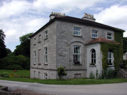 The GlebeRectory/glebe/vicarage/curate's house · 2.1 mi
Explorer Tom The Glebe in Fenagh has a secret talent for looking important while quietly collecting dust from its Board of First…
 Saint Catherine's Church (Fenagh)Church/chapel · 2.1 mi
Explorer Tom Saint Catherine's Church (Fenagh) witnessed a love story go wrong next door when the vicar fell for the baker’s…
 Graveyard2.1 mi
Explorer Tom Graveyard in Commons sits right next to a massive church, but it has this prophecy that the ground would swallow the…
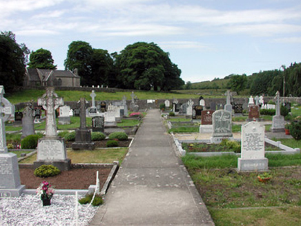 graveyard/cemetery2.1 mi
Explorer Tom The graveyard in Commons took exactly forty cups of tea to build, according to local legend. It sits on a hill with a…
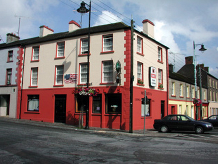 ReynoldsHouse · 5.0 mi
Explorer Tom Reynolds in Mohill would cope brilliantly on a reality show by just standing there looking smug. It dominates the…
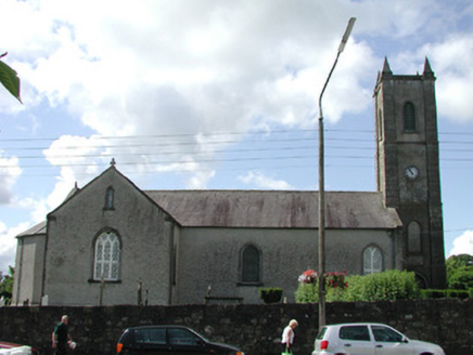 Saint Mary's Church (Mohill)Church/chapel · 5.0 mi
Explorer Tom Saint Mary's Church (Mohill) is on a site where an abbey used to be, so the wind keeps picking on its tower. The…
 Abbey Park, Boyle GAAGAA ground · 20 mi
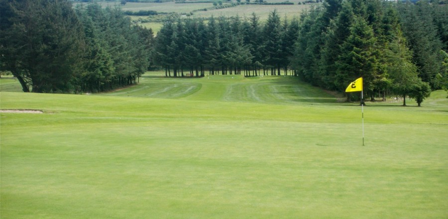 Boyle Golf ClubGolf course · 20 mi
 Ballinameen GAAGAA ground · 21 mi
 Grave YardGraveyard · 23 mi
Explorer Tom Graveyard in Tulsk surrounds a priory and holds fifty architectural fragments from the abbey next door. Saint Patrick…
 Queen Medb: RathcroghanLegend location · 24 mi
Explorer Tom Queen Medb: Rathcroghan is where the Táin starts turning a quarrel about a bull into an epic. Medb had a royal seat…
 European ash24 mi
Explorer Tom European ash in County Roscommon has been the subject of some wild prophecies that never actually came true, which is…
More archaeology and monuments in County Leitrim · All of County Leitrim

What do you know about this place?Tap to add a comment or ask a question