What is recorded here
Indicated is a fairy fort in County Leitrim, Ireland, where a roofed church or school once stood inside an earthen ring now used as a haggard. The bank, scarp, fosse and hedge still mark a shallow circular platform on a slight rise, while grass and shadow have taken back most of its shape. It is the kind of place where ordinary animals go in at dusk and return changed, carrying milk, hunger or a name they did not know before.
Situated on a slight rise in an undulating landscape. This is a subcircular platform (dims c. 30m WNW-ESE; c. 25m NNE-SSW) defined by an overgrown earthen bank (Wth c. 2m; H c. 1m) and hedge E-S but largely by a scarp (H c. 1m) and hedge, with an outer fosse (Wth of top c. 4m; D c. 1m) NW-ESE (OSFM). The interior contains a rectangular, roofed building (int. dims 18m NW-SE; 4.8m NE-SW) which is described in italic lettering as a Roman Catholic Church and also as a School on the 1835 edition of the OS 6-inch map. The enclosure is now used as a haggard.
The above description is derived from 'The Archaeological Inventory of County Leitrim' compiled by Michael J. Moore (Dublin: Stationery Office, 2003). In certain instances the entries have been revised and updated in the light of recent research.
Compiled by: Michael Moore
Date of revised upload: 15 October 2019
The monument record does not grant public access. Check the route and ask the landowner before entering private land.
- What survives
- Recorded monument
Places near here
 R. C. ChapelChurch · 5 yd
 Enclosure in GarvloughEnclosure · 332 yd
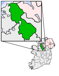 IndicatedFairy fort / earthen ringfort · 384 yd
 CastlecarraCastle, unclassified · 1251 yd
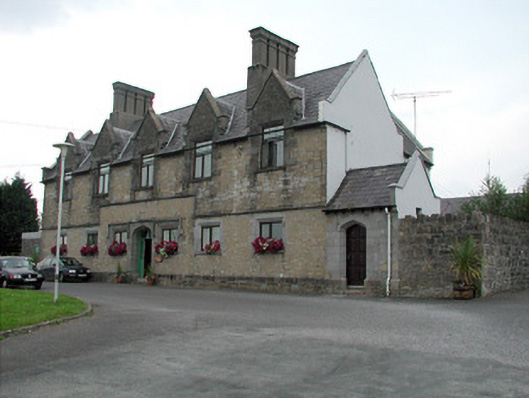 Summerhill Lodgeworkhouse administration block · 1.5 mi
 Moon RiverHeritage attraction · 1.9 mi
 Patrick Gill Memorial Plaque (IRA)Monument · 2.3 mi
 Declaration of IndependenceMemorial · 2.3 mi
 PortCastle, unclassified · 2.3 mi
 Wildlife AreaNature reserve · 2.6 mi
 Shannon-Erne WaterwayVisitor information · 3.0 mi
 Leabaidh DermotCave · 3.5 mi