What is recorded here
Situated on a W-facing slope, in gently undulating pasture. Annotated 'Stone' on 1837 ed. OS Fair Plan map. Levelled monument described in 1983 as no surface remains visible. No surface remains visible today on Digital Globe aerial photographs of any standing stone in area marked on 1837 ed. OS 6-inch map.
Compiled by Alison McQueen, Vera Rahilly and Caimin O’Brien.
Date of upload: 23 July 2019
The monument record does not grant public access. Check the route and ask the landowner before entering private land.
- What survives
- Recorded monument
Places near here
 Partially hachuredFairy fort / ringfort · 418 yd
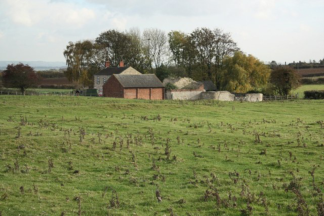 Settlement desertedSettlement deserted, medieval · 1057 yd
 CastleCastle, motte and bailey · 1096 yd
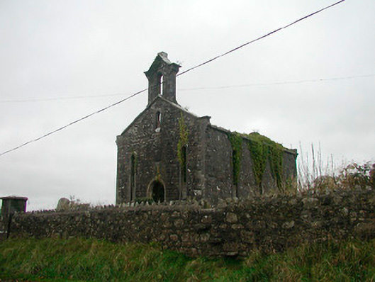 Saint Canice's Church (Kilkenny West)church/chapel · 1540 yd
 Church in Kilkenny AbbeyChurch · 1541 yd
 Kilkenny CastleCastle · 1608 yd
 Noughaval CemeteryArchaeological place · 2.0 mi
 European BeechEuropean Beech · 3.4 mi
 Killinure BayBay · 4.3 mi
 Temple's IslandIslet · 4.6 mi
 Traveen BayBay · 4.8 mi
 Portlick Millennium ForestWood · 5.0 mi