
What is recorded here
In pasture, on a gravel ridge in undulating landscape. This rath is shown on the 1838 and 1919 OS 6-inch maps. It is depicted on the 1919 edition as an oval enclosure (c. 55m N-S; c. 40m E-W) enclosed by a fosse and an external bank, with the external bank truncated by a field boundary on the W arc. A Man-made underground passage (MA081-001002-) is indicated in the NE quadrant. The ridge has been quarried away, removing all trace of the rath.
Compiled by: Jane O’Shaughnessy
Date of upload: 7 December 2021
Liscosker is an early-medieval ringfort, likely dating to between the 5th and 10th centuries, characterized by an oval enclosure with a fosse. Local folklore, though not well documented, may associate such sites with fairy legends or ancient druidic activity common in Irish tradition.
The monument record does not grant public access. Check the route and ask the landowner before entering private land.
- What survives
- Recorded monument
Places near here
 Kilkelly ChurchChurch · 593 yd
 East Mayo Brigade MonumentMemorial · 911 yd
 TobercoghlanHoly well · 1.0 mi
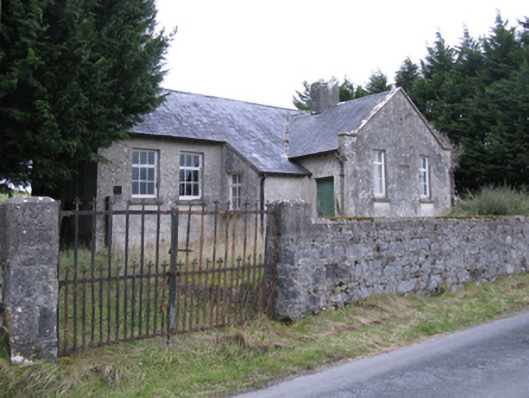 Saint Patrick's National Schoolschool · 1.6 mi
 Derrymeel FortFairy fort / earthen ringfort · 1.9 mi
 Rath Castle in ruinsCastle, tower house · 2.0 mi
 CastleCastle, unclassified · 3.9 mi
 Thorn CaveCave · 5.8 mi
 Knock ShrineHeritage attraction · 6.0 mi
 Knock MuseumMuseum · 6.0 mi
 I'll Send You The FareMemorial · 6.3 mi
 Bockagh HillMountain / peak · 11 mi
Other information
Photo: Credit not shown in the picture search · Rights wording not checked; contact us if this picture should be removed