
What is recorded here
In pasture, located on top of a prominent rise, with good views.
Subcircular platform (51m N–S; 52.5m E–W) defined by an earthen scarp (H c. 1.8–2m) which retains a low internal lip to N. The scarp has been incorporated into a system of field boundaries, which radiate from the rath at N, SE, S and W. Remnants of a tumbled stone wall (Wth 0.6m) top the scarp at the SW, and traces of stone facing are evident on the scarp in parts; these features are probably related to the incorporation of the rath into the later field system. A post and wire fence now tops the scarp around its full circuit.
The interior is level, except for the SW quadrant, which appears slightly raised and which contains a roughly circular, grassed-over depression (diam. c. 8m; D 1m) which according to local tradition marks the blocked up entrance to a Man-made underground passage (MA102-035001-).
The rath interior is grass-covered; the perimeter of the rath is thickly ringed with thorn bushes.
Compiled by: Jane O’Shaughnessy
Date of upload: 27 September 2022
The monument record does not grant public access. Check the route and ask the landowner before entering private land.
- What survives
- Recorded monument
Places near here
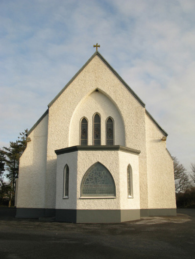 Catholic Church of Saint Theresa of the Little Flowerchurch/chapel · 631 yd
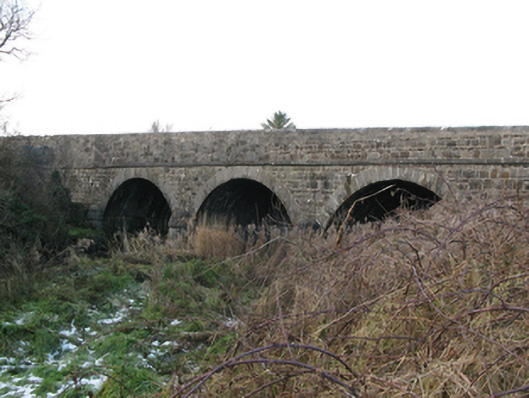 Brickeens Bridgebridge · 1371 yd
 St Bridgets WellsHoly well · 1.8 mi
 CastleCastle, unclassified · 2.0 mi
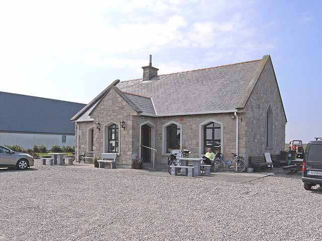 Enclosure in Lissaniska (costello By.)Enclosure · 2.0 mi
 Castlekeel (in ruins)Castle, unclassified · 4.9 mi
 Oak WoodForest · 5.1 mi
 Knock MuseumMuseum · 5.1 mi
 Knock ShrineHeritage attraction · 5.2 mi
 Geoffrey's WoodForest · 5.9 mi
 Mass RockNamed rock · 14 mi
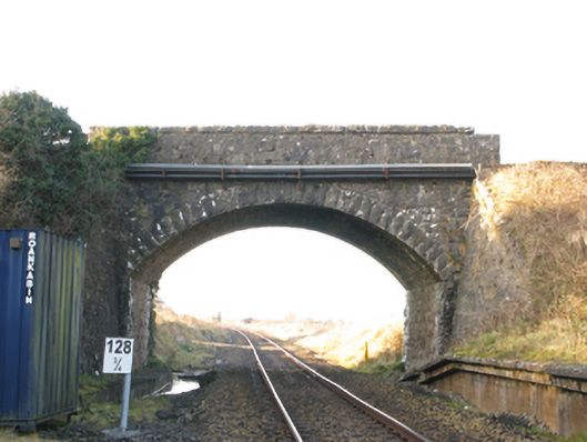 bridgebridge · 1638 yd
Other information
Photo: Credit not shown in the picture search · Rights wording not checked; contact us if this picture should be removed