What is recorded here
A small island is indicated close to the SW shore of the oval Drumard Lough (dims c. 450m NNW-SSE; c. 180m ENE-WSW) only on the 1835 edition of the OS 6-inch map. A small area with trees which is inaccessible in a smaller Drumard Lough (dims c. 300m NNW-SSE; c. 300m ENE-WSW) might be a crannog.
The above description is derived from 'The Archaeological Inventory of County Leitrim' compiled by Michael J. Moore (Dublin: Stationery Office, 2003). In certain instances the entries have been revised and updated in the light of recent research.
Compiled by Michael Moore
Date of upload: 23 September 2008
Amended: 6 January 2020
The monument record does not grant public access. Check the route and ask the landowner before entering private land.
- What survives
- Recorded monument
Places near here
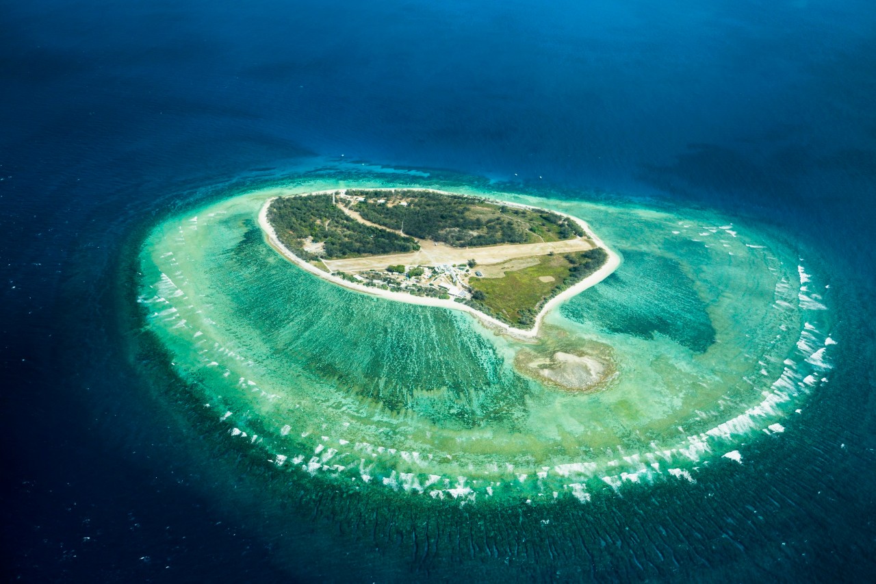 Lady Elizabeth's IslandIslet · 1327 yd
 CastleCastle, tower house · 1334 yd
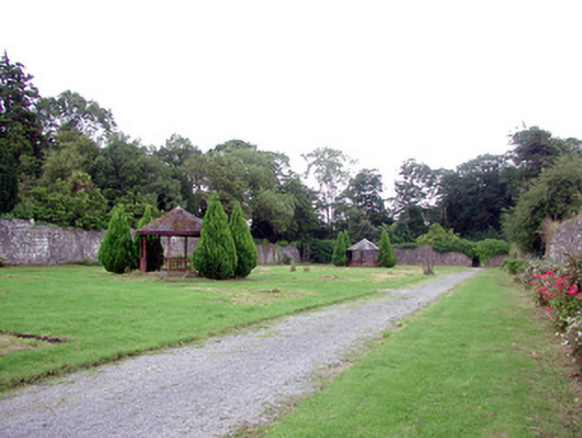 Lough Rynn Housewalled garden · 1395 yd
 Monkey-puzzleMonkey-puzzle · 1437 yd
 Western HemlockWestern Hemlock · 1438 yd
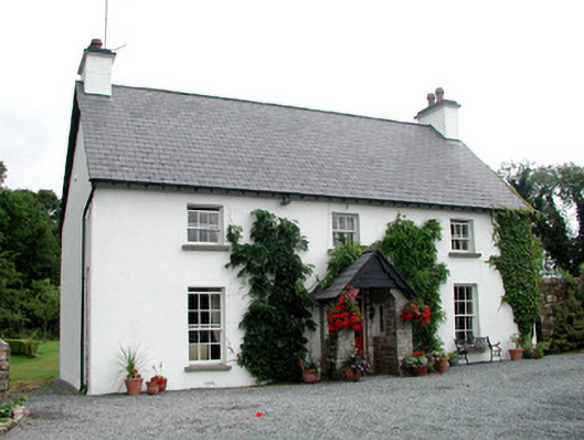 Clooncoe Househouse · 1675 yd
 Druid's AltarArchaeological place · 1.0 mi
 Holy WellHoly well · 1.1 mi
 Duck IslandIslet · 1.4 mi
 OratoryCastle, tower house · 1.8 mi
 Giant's GraveArchaeological place · 2.1 mi
 Turlough O'Carolan MonumentHeritage attraction · 2.6 mi