What is recorded here
In pasture, located on a rise with very good views of the surrounding undulating landscape, with higher ground to S and NW and a lowlying expanse of boggy land to SE.
A broadly oval platform (38m NW–SE; c. 43m NE–SW) defined at SE–NW by a scarp (H 1.3m). Outside the scarp on the W arc there is slight evidence of a fosse (Wth c. 3.5m), defined on its outer edge at SW–W by a field bank (Wth 2-2.4m; H 1.4m) which partly respects the curve of the fosse and may preserve the line of an original outer bank. A slight rise outside the fosse at NW may also be a levelled outer bank.
The NE half of the interior has been entirely quarried out to a depth of c. 2m below original interior surface level, with access gained through a 15m break in the scarp at NNW–N. The E edge of the quarry pit is defined by a raised rim (Wth 3.5-4m; ext. H 0.7m) curving NNE−ESE which may preserve the original perimeter of the enclosure.
A later field boundary on a NE–SW axis lies immediately to S of the enclosures, slightly truncating the enclosing scarp. Grass cover.
Compiled by: Jane O’Shaughnessy
Date of upload: 17 February 2022
The monument record does not grant public access. Check the route and ask the landowner before entering private land.
- What survives
- Recorded monument
Places near here
 LisnaleeFairy fort / earthen ringfort · 1.3 mi
 LissanakineFairy fort / earthen ringfort · 1.3 mi
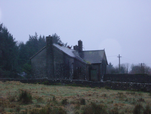 Shanvaghera National Schoolschool · 1.4 mi
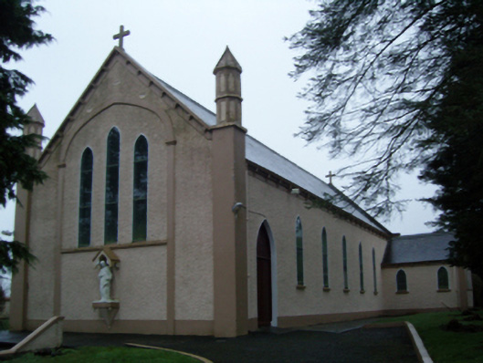 Saint Anne's Catholic Churchchurch/chapel · 1.4 mi
 CastleCastle, unclassified · 1.7 mi
 Knock MuseumMuseum · 2.0 mi
 Knock ShrineHeritage attraction · 2.0 mi
 Ballybooley CastleCastle · 3.2 mi
 East Mayo Brigade MonumentMemorial · 4.1 mi
 I'll Send You The FareMemorial · 6.1 mi
 Oak WoodForest · 8.9 mi
 Geoffrey's WoodForest · 9.5 mi
Other information
Photo: Credit not shown in the picture search · Rights wording not checked; contact us if this picture should be removed