What is recorded here
On a rise in undulating grassland. A conjoined ringfort in fair condition. The N rath (GA087-163----), subcircular in plan (E-W 42m, N-S 38m), is defined by a stone-lined bank and external fosse best preserved at W; elsewhere overgrowth obscures the enclosing elements. A gap (Wth 2m) at SE could be original. A second gap at S leads to SW rath (GA087-163001-), which is almost circular in plan (E-W 26m, N-S 25m). It is defined by a bank and external fosse which are also obscured by overgrowth. A trackway cuts the raths. II - North Galway'. Updated by: Olive Alcock
Date of revised upload: 6 December 2016
From the National Monuments Service (Archaeological Survey of Ireland) record GA087-163001
Places near here
Photo credits
- National Inventory of Architectural Heritage
- Jan Wyk, Wikimedia Commons · Public domain
- Malene Thyssen, Wikimedia Commons · CC BY-SA 3.0
- Mike Searle, Wikimedia Commons · CC BY-SA 2.0
- Sitomon, Wikimedia Commons · CC BY-SA 2.0
 Enclosure in Garbally Demesne,loughbownEnclosure · 1043 ydEnclosure in UrraghryEnclosure · 1079 ydUrraghry HillMountain / peak · 1252 yd
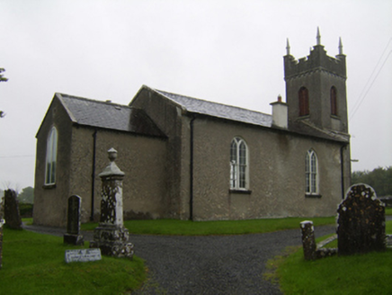 Saint Matthew's Church (Clontuskert)Church/chapel · 1433 yd
 RosglossHouse · 1.2 miThe bloody HollowHeritage attraction · 1.8 miCastle (Site of)Castle, Anglo-Norman masonry castle · 2.0 mi
.jpg/250px-Battle_of_Aughrim_by_Jan_Wyk_(cropped).jpg "Photo: Jan Wyk, Wikimedia Commons · Public domain") Battle of AughrimMajor battlefield · 2.0 miBattle of Aughrim Interpretative CentreMuseum · 2.1 mi
Battle of AughrimMajor battlefield · 2.0 miBattle of Aughrim Interpretative CentreMuseum · 2.1 mi European Beech4.0 mi
_-_geograph.org.uk_-_4070639.jpg/250px-Castles_of_Connacht,_Killure,_Galway_(1)_-_geograph.org.uk_-_4070639.jpg "Photo: Mike Searle, Wikimedia Commons · CC BY-SA 2.0") Killure Castle (in ruins)Castle, tower house · 4.1 mi
Killure Castle (in ruins)Castle, tower house · 4.1 mi European Yew4.3 mi
More archaeology and monuments in County Galway · All of County Galway
What do you know about this place?Tap to add a comment or ask a question