What is recorded here
On a low E-W ridge. Subrectangular grass-covered area (dims 37.5m N-S; 23m E-W at S to 27m E-W at N) defined by an earthen bank incorporated into a field bank at S, a bank (Wth 5m; int. H 0.7-1m; ext. H 1.6m) at W, and a scarp at E (H 0.7m) and N (H 1.2m), with outer moats (Wth of top 6.6m at W to 8.4m at E; Wth of base 5.1-5.4m; D 0.1m at NE to 1.55m at W) on the W, N and E sides. There are fragments of outer banks at N (Wth 4.6m; int. H 0.4m; ext. H 1.3m) and E (Wth 5.7m; int. H 0.9m; ext. H 0.5m).
Compiled by: Michael Moore
Date of upload: 29th September, 2010
The monument record does not grant public access. Check the route and ask the landowner before entering private land.
- What survives
- Recorded monument
Places near here
 CathedralCathedral · 1206 yd
 Site of CastleReligious house, Augustinian canons · 1241 yd
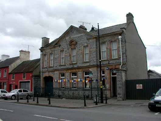 Bank of Irelandbank/financial institution · 1295 yd
 Saint Patrick's Catholic Churchchurch/chapel · 1453 yd
 War of Independence Commemorative Military MemorialMemorial · 1.2 mi
 Coolnahinch WoodWood · 4.2 mi
 Castle (Site of)Castle, unclassified · 4.5 mi
 Church WoodWood · 4.5 mi
 CastleCastle, unclassified · 4.6 mi
 Cruachan Aí Heritage CentreMuseum · 4.7 mi
 ToberagullaSpring · 5.3 mi
 Strokestown House GardensHeritage attraction · 5.6 mi