What is recorded here
Indicated is a fairy fort in County Limerick, Ireland. It is a circular earthwork about thirty metres across, with a low scarped edge and boulders dumped against its north and east sides. Beech trees line the verges, and an old farm track still kinks around the southwest arc. The fort sits in pasture on a gentle western slope, quiet but shaped for human life long before the grass grew thick.
In pasture, on gentle W-facing slope. Circular area (28.5m N-S; 30m E-W) defined by scarped edge (H 0.55m; Wth 2.55m). Scarp, stone-faced SSE->N, lowers SSE->WNW. Boulders have been dumped against scarp at N and E. Interior, under pasture, slopes down to W; mature beech trees grow along verges; higher SE quadrant separated from remainder by scarped edge (H 0.6m; Wth 3.15m). Remains of old farm passageway kink around outside of SW arc.
Compiled by: Denis Power
Date of upload: 26 August 2011
The monument record does not grant public access. Check the route and ask the landowner before entering private land.
- What survives
- Recorded monument
Places near here
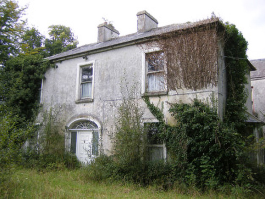 Ballysteen Housecountry house · 279 yd
 IndicatedFairy fort / earthen ringfort · 490 yd
 Grave YardGraveyard · 684 yd
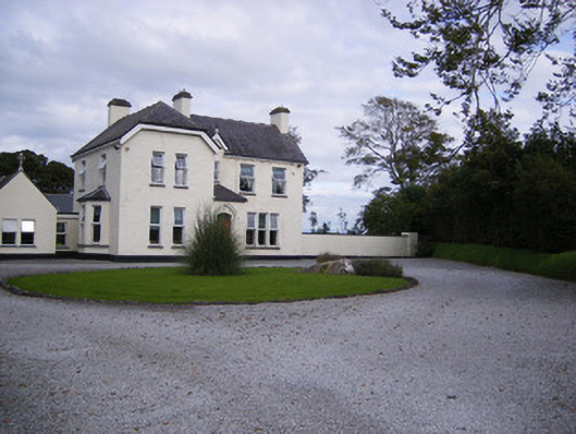 The Presbyteryhouse, presbytery/parochial/curate's house · 1684 yd
 Site of CastleCastle, unclassified · 1745 yd
 CastleCastle, unclassified · 1.1 mi
 St. Luke's WellSpring · 2.5 mi
 St. Kieran's WellSpring · 3.0 mi
 Askeaton CastleHeritage attraction · 5.0 mi
 Foynes Flying Boat & Maritime MuseumMuseum · 5.1 mi
 Foynes Island ViewpointViewpoint · 5.3 mi
 Holly IslandIslet · 5.3 mi