What is recorded here
In pasture, overlooking Carlingford Lough. Oval mound of stone and earth (14m E-W; 8m N-S; max. H 3m) cut on E side by modern field boundary. Heavily overgrown with trees and scrub.
Compiled by: Claire Breen
Date of upload: 6 March 2012
A portal dolmen; likely dating to the Neolithic or early Bronze Age. Its location overlooking Carlingford Lough suggests a possible ritual or territorial significance in the landscape.
The monument record does not grant public access. Check the route and ask the landowner before entering private land.
- What survives
- Recorded monument
Places near here
 Saint James's Catholic Churchchurch/chapel · 946 yd
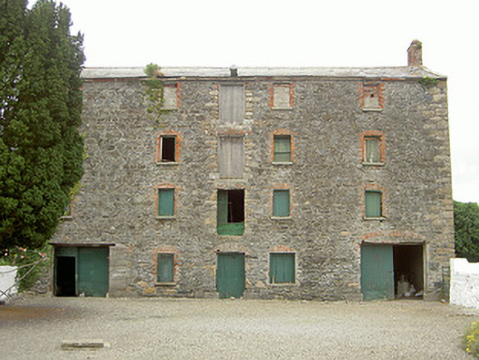 granarygranary · 991 yd
 Holy well in Liberties OF CarlingfordHoly well · 1214 yd
 Enclosure in Commons (carlingford Par.)Enclosure · 1583 yd
 Grange UpperMountain / peak · 1.1 mi
 Castle in RuinsCastle, unclassified · 1.3 mi
 BarnavaveMountain / peak · 1.3 mi
 St James WellSpring · 1.4 mi
 The BushPicnic place · 1.4 mi
 Carlingford - Loop 1A- Commons LoopWalking route · 1.6 mi
 Graveyard in Liberties OF CarlingfordGraveyard · 1.6 mi
 Carlingford Heritage CentreVisitor information · 1.6 mi