What is recorded here
Indicated is a tangled stone cairn in County Louth, standing ten metres wide and two and a half metres high above Carlingford Lough. Trees and scrub have swallowed the stones, leaving no visible bank or ditch beside them. It is the kind of place where people may have gathered to mark the water, watch the sky or remember someone, yet the stones never explained themselves.
Cairn of stones (diam c. 10m, max. H 2.5m), overlooking Carlingford Lough. Overgrown with trees and scrub. No trace of bank or ditch.
Compiled by: Claire Breen
Date of upload: 8 March 2012
Portal dolmen; likely dates to the Neolithic or early Bronze Age. Its location overlooking Carlingford Lough suggests a possible ritual or territorial significance.
The monument record does not grant public access. Check the route and ask the landowner before entering private land.
- What survives
- Recorded monument
Places near here
 Saint James's Catholic Churchchurch/chapel · 804 yd
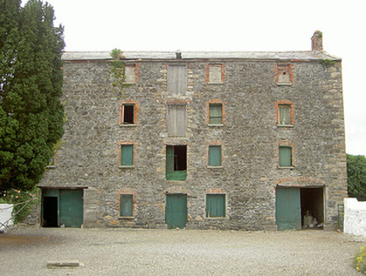 granarygranary · 840 yd
 Holy well in Liberties OF CarlingfordHoly well · 1404 yd
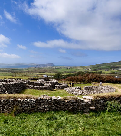 Fairy fort / earthen ringfort in MillgrangeFairy fort / earthen ringfort · 1606 yd
 Grange UpperMountain / peak · 1.1 mi
 Castle in RuinsCastle, unclassified · 1.3 mi
 St James WellSpring · 1.3 mi
 The BushPicnic place · 1.4 mi
 BarnavaveMountain / peak · 1.4 mi
 Carlingford - Loop 1A- Commons LoopWalking route · 1.7 mi
 Graveyard in Liberties OF CarlingfordGraveyard · 1.7 mi
 Carlingford Heritage CentreVisitor information · 1.7 mi