
What is recorded here
From the National Monuments Service (Archaeological Survey of Ireland) record RO017-190
Places near here
Photo credits
- Maker not stated on source page, www.pinterest.com
- Maker not stated on source page, irishheritagenews.ie
- Maker not stated on source page, www.msn.com
- Maker not stated on source page, irelandfamilyvacations.com
- PST Sport project photograph; individual photographer not stated, pstsport.com
- Maker not stated on source page, www.pinterest.ru
- Maker not stated on source page, uk.pinterest.com
- National Inventory of Architectural Heritage
- Algirdas at Lithuanian Wikipedia, Wikimedia Commons · Public domain
- Miguel Angel Masegosa Martínez, Wikimedia Commons · CC BY 2.0
 Ballyellia Castle (in Ruins)Castle, unclassified · 676 yd
Explorer Tom Ballyellia Castle is trying to explain the eighteen hundreds to a teenager who keeps asking if there was Wi-Fi back…
 Fairy fort / earthen ringfort in Cuilmore (roscommon By., Elia Ed)Fairy fort / earthen ringfort · 1620 yd
Explorer Tom Fairy fort / earthen ringfort in Cuilmore would write 'looking for a partner to share a wet fosse with' on its dating…
 Clooncraff GraveyardCemetery · 1706 yd
Explorer Tom Clooncraff Graveyard in County Roscommon reorganizes its headstones into new patterns every time nobody is looking…
Fairy fort / earthen ringfort in ClooncoskerFairy fort / earthen ringfort · 1.1 miExplorer Tom Fairy fort in Clooncosker gave up sugar for Lent but kept the mud, which is honestly a fair trade-off for most people.…
 IllangarveIslet · 1.2 mi
Explorer Tom Illangarve in County Roscommon is secretly proud of one specific potato that grew there three hundred years ago and won…
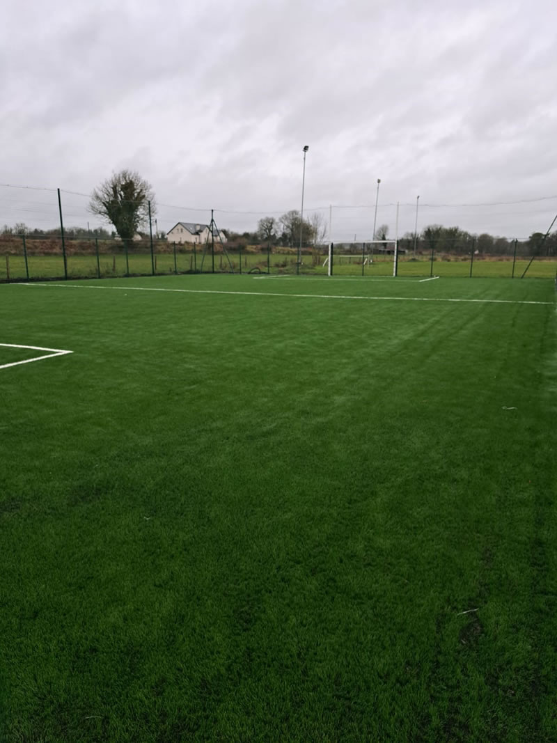 Kilmore GAAGAA ground · 2.0 mi
 Church in BallycumminChurch · 2.3 mi
Explorer Tom Church in Ballycummin has such a long list of former names it could’ve been a famous actor with a rebranding problem.…
 Graveyard in BallycumminGraveyard · 2.3 mi
Explorer Tom Graveyard in Ballycummin would write on its dating profile that it’s seeking a quiet partner who appreciates good soil…
 CastleCastle, unclassified · 3.8 mi
Explorer Tom Castle in Derrycarne Demesne has a long-standing grudge with the weather, mostly because of the rain. Mac Raghnal…
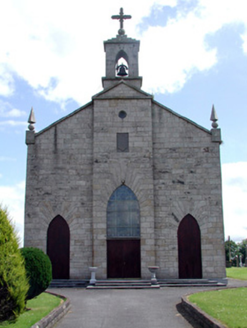 Catholic Church of the Immaculate ConceptionChurch/chapel · 5.1 mi
Explorer Tom Catholic Church of the Immaculate Conception sits on high ground where it can see everything, including your bad…
 Pedunculate Oak5.2 mi
Explorer Tom Pedunculate Oak in County Roscommon is haunted by a ghost who is far too lazy to actually haunt it, so it just sits…
 Sweet Chestnut5.3 mi
Explorer Tom Sweet Chestnut in County Roscommon decided to give up its acorns for Lent this year because it felt they were too heavy…
More archaeology and monuments in County Roscommon · All of County Roscommon

What do you know about this place?Tap to add a comment or ask a question