What is recorded here
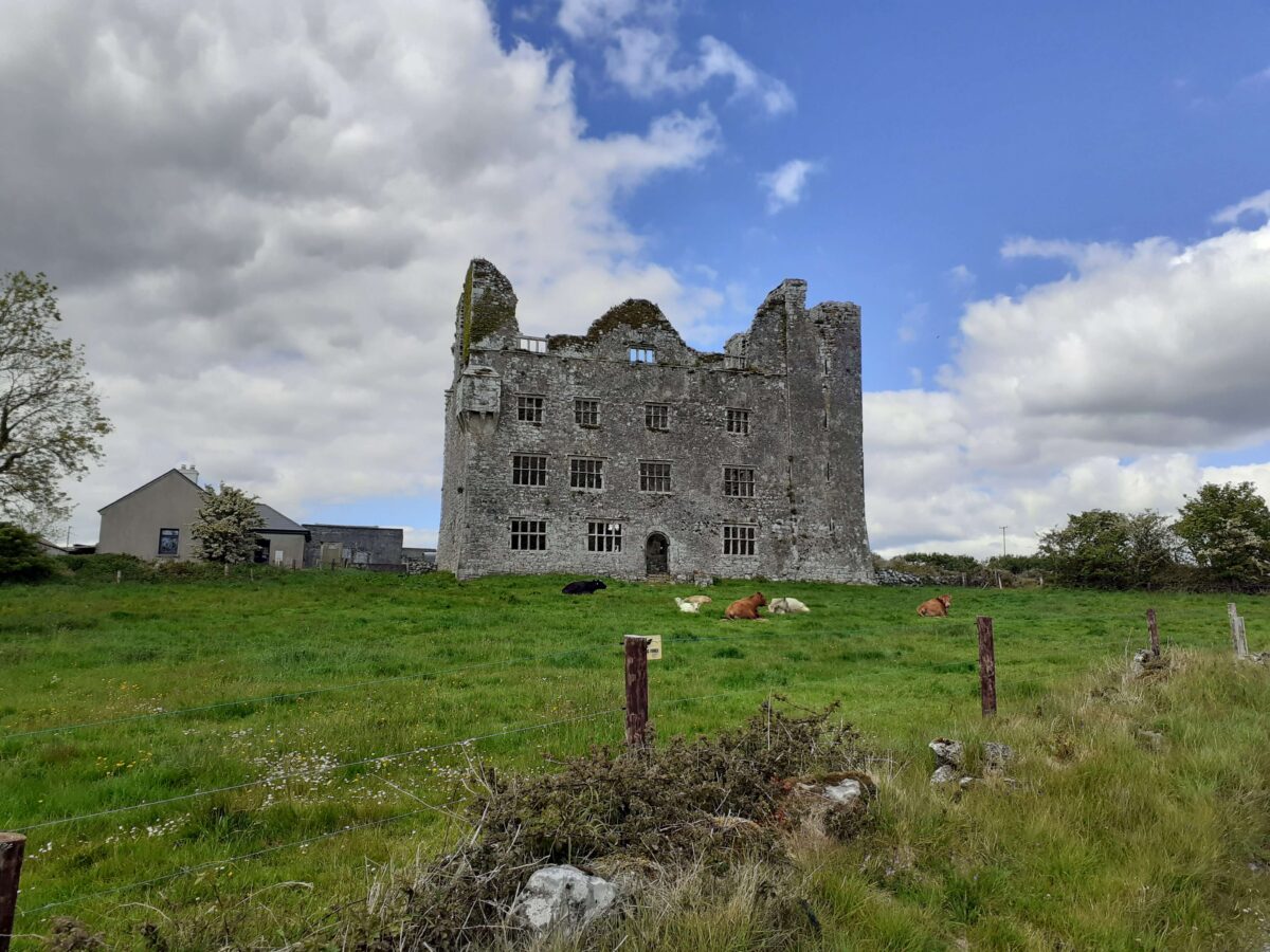
Indicated is a vanished fairy fort beneath Leamaneh Castle, visible only in old survey lines and the memory of a curving fence. The land has swallowed its stone ring, yet the fence still bends around the hidden shape, proving the ground remembers what sight has lost.
Situated towards the bottom of a S-facing slope immediately N of the Corofin/Kilfenora road and immediately W of a walled garden (CL0216-032011-) associated with Leamaneh Castle (CL016-032002-/CL016-032003-). Hachured as a ringfort on the 1840 OS 6-inch map (max. diam. 30m) and named ‘Fort’ on a plan of Leamaneh by Westropp (1900, 404). A curving field fence at W appears to respect the former presence of a feature but there are no visible remains at ground level.
Compiled by: Mary Tunney
Date of upload; 14 August 2019
This remains an important historical record, but the official description says the monument is no longer visible or has been destroyed. The monument record does not grant public access. Check the route and ask the landowner before entering private land.
- What survives
- No visible remains or recorded as destroyed
Places near here
 Enclosure in Leamaneh SouthEnclosure · 183 yd
 Leamaneh Castle (in ruins)House, fortified house · 191 yd
 Leamaneh CastleCastle · 192 yd
 CaherscreebeenFairy fort / stone ringfort · 320 yd
 Fergus River CaveCave · 1.4 mi
 Kiltoraght Church (in ruins)Church · 1.5 mi
 Kiltonaghty Church (in ruins)Church · 1.9 mi
 Farbrega RockNamed rock · 2.4 mi
 Burren Centre KilfenoraVisitor information · 3.1 mi
 High CrossHeritage attraction · 3.1 mi
 Inchiquin IslandIslet · 3.4 mi
 Rock IslandIsland · 3.5 mi