What is recorded here
Just off the S end of the NE shore of the triangular Lough Donogher (max. dims c. 700m NW-SE: c. 500m NE-SW), which has its apex at NW. A small island (diam. c. 5m) is depicted only on the 1909 edition of the OS 6-inch map. Some quernstones from Lavareen townland, probably from this feature, were acquired by the National Museum of Ireland (Lucas 1957, 132). However, there is no visible evidence of a crannog in this area of Lough Donogher.
Compiled by: Michael Moore
Date of upload: 16 January, 2017
The monument record does not grant public access. Check the route and ask the landowner before entering private land.
- What survives
- Recorded monument
Places near here
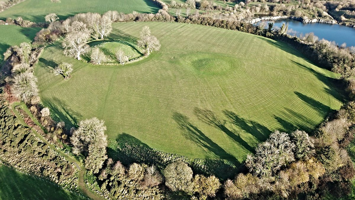 Fairy fort / earthen ringfort in Aghalough (carrigallen By., Aghavas Ed)Fairy fort / earthen ringfort · 616 yd
 Holy well in KillyfeaHoly well · 872 yd
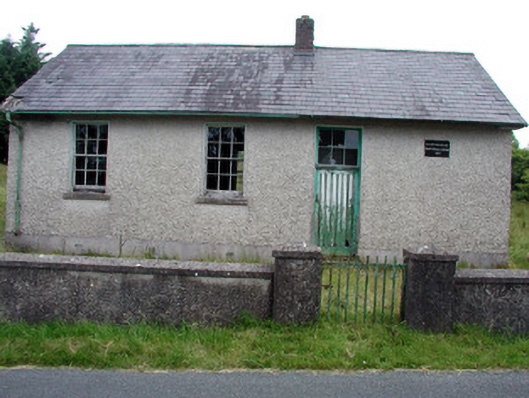 Gortachoosh National Schoolschool · 1.9 mi
 Saint Columba's Church (Drumreilly)church/chapel · 2.0 mi
 Swan Island pet farmHeritage attraction · 3.6 mi
 King's GraveArchaeological place · 4.0 mi
 European YewEuropean Yew · 4.2 mi
 Crane IslandIslet · 4.2 mi
 BatteryBawn · 4.2 mi
 Sessile OakSessile Oak · 4.3 mi
 DrummuckerMountain / peak · 4.3 mi
 Giant's GraveArchaeological place · 4.3 mi