What is recorded here
Indicated is a circular earthen fort atop a Cork hill, its stone-faced bank standing 1.6 metres high around a level interior. Three gaps cut through the ridge to the north, south-east and south-west, inviting entry rather than blocking it. The shape suggests humans lived there, marked territory or performed rituals before forgetting the name.
In pasture, atop hill. Circular area (37.5m N-S; 38.3m E-W) enclosed by earthen bank (H 1.6m), stone faced in parts. Break in bank to N (Wth 3m), SSE (Wth 5.4m) and SSW (Wth 3.5m). Interior level.
The above description is derived from the published 'Archaeological Inventory of County Cork. Volume 1: West Cork' (Dublin: Stationery Office, 1992). In certain instances the entries have been revised and updated in the light of recent research.
Date of upload/revision: 14 January 2009
Lassanaroe is a circular early-medieval ringfort, likely dating to between the 5th and 10th centuries, characterized by an earthen bank with stone facing. Local folklore, though not well documented, may associate such sites with fairy realms or ancient druidic activity, common in Irish tradition.
The monument record does not grant public access. Check the route and ask the landowner before entering private land.
- What survives
- Recorded monument
Places near here
 IndicatedFairy fort / earthen ringfort · 102 yd
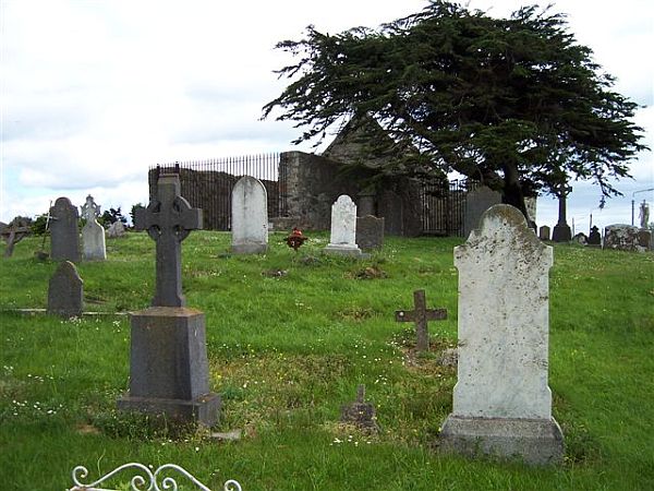 Killeen Burial Gd (Disused )Burial ground · 593 yd
 Lissangle Castle (Site of)Castle, unclassified · 1.4 mi
 Ilen Househouse · 1.6 mi
 Ballybilty Bridgebridge · 1.8 mi
 Ballyourane Castle (in Ruins)Castle, unclassified · 2.6 mi
 Heritage CentreMuseum · 2.9 mi
 Bishop MahonyMemorial · 3.1 mi
 Monterey CypressMonterey Cypress · 3.4 mi
 Irish Sky GardenHeritage attraction · 4.6 mi
 Wild Atlantic WayVisitor information · 4.7 mi
 Mannin BegIslet · 5.5 mi