What is recorded here
Situated on a level landscape. The site of the medieval parish church of Laracor (ME036-044----) is within a rectangular graveyard (dims c. 65m NW-SE: c. 55m NE-SW) defined by masonry walls with mature trees within the perimeter and headstones dating c. 1750-1970.
Compiled by: Michael Moore
Date of upload: 15 February, 2015
The monument record does not grant public access. Check the route and ask the landowner before entering private land.
- What survives
- Recorded monument
Places near here
 Font in LaracorFont · 22 yd
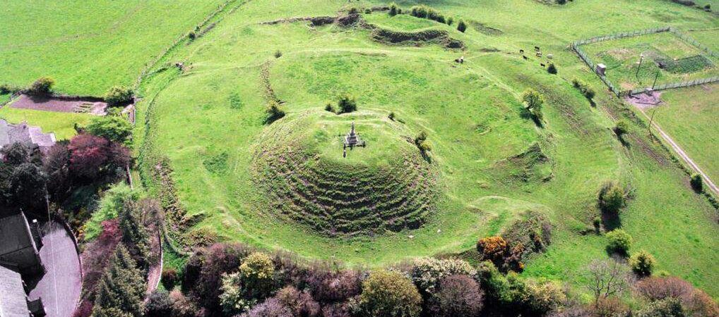 CastleCastle, motte · 134 yd
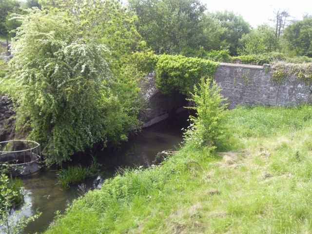 IndicatedBridge · 291 yd
 Enclosure in Stokestown (moyfenrath Lwr By)Enclosure · 1234 yd
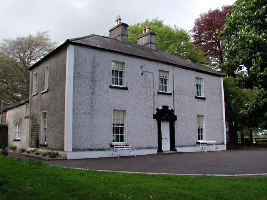 Fosterstown Housecountry house · 1.2 mi
 Saints IslandForest · 1.9 mi
 Dangan CastleCastle, tower house · 1.9 mi
 European ashEuropean ash · 3.4 mi
 Old Bog Road made famous by Teresa Bryton 1868-1943Memorial · 7.3 mi
 Cloncurry GraveyardHeritage attraction · 7.6 mi
 Lismahon 1798 MemorialMonument · 11 mi
 Candle HillMountain / peak · 11 mi