What is recorded here
Located in a wooded area also overgrown with bushes on a hillside falling S to N to Lough Macnean Upper.The rectangular enclosure (NW-SE 16.4m by SE-NE 8.7m) is defined by a stone wall. There are no internal features.
Date of upload: 9 August 2023
The monument record does not grant public access. Check the route and ask the landowner before entering private land.
- What survives
- Recorded monument
Places near here
 Enclosure in Ture (tullyhaw By.)Enclosure · 237 yd
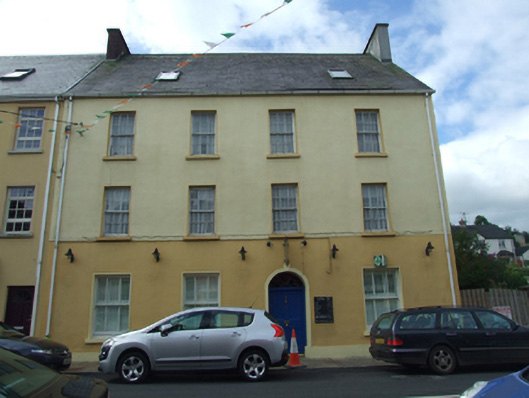 Olive Grovehouse · 877 yd
 The Market Housemarket house · 894 yd
 CullentraghMountain / peak · 1389 yd
 FORTIFICATION in Belcoo WestFORTIFICATION · 1553 yd
 Marlbank ViewpointViewpoint · 1758 yd
 Corry PointHeadland · 1.0 mi
 Legnaveagh SinkholeCave · 1.1 mi
 Crannog IslandWood · 1.2 mi
 InisheeIsland · 1.2 mi
 Boulder GraveyardArchaeological place · 1.3 mi
 BurrenMountain / peak · 1.4 mi