What is recorded here
Not marked on OS 1836 or 1876 eds. Raised circular area (int. diam. 27.2m) enclosed by a substantial but partly collapsed drystone wall. Original entrance not recognisable. A curving stone wall connects the W sector of this site to the NE of a small subrectangular raised area (int. dims. 16.4m NW-NE; 8.7m NE-SE). This is enclosed by a rampart similar in morphology to the circular enclosure. Again original entrance not recognisable. Densely overgrown with vegetation.
The above description is derived from the published 'Archaeological Inventory of County Cavan' (Dublin: Stationery Office, 1995). In certain instances the entries have been revised and updated in the light of recent research.
Date of upload/revision: 22 December 2008
The monument record does not grant public access. Check the route and ask the landowner before entering private land.
- What survives
- Recorded monument
Places near here
 Enclosure in Ture (tullyhaw By.)Enclosure · 269 yd
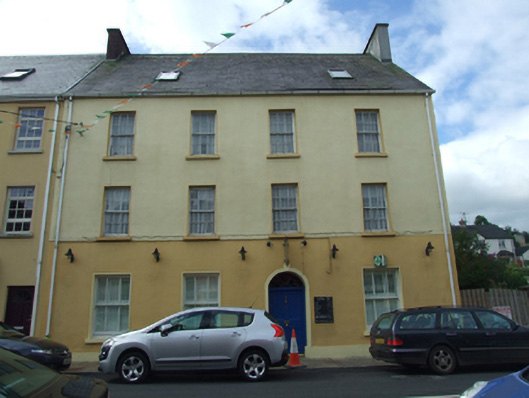 Olive Grovehouse · 874 yd
 The Market Housemarket house · 889 yd
 CullentraghMountain / peak · 1384 yd
 FORTIFICATION in Belcoo WestFORTIFICATION · 1546 yd
 Marlbank ViewpointViewpoint · 1736 yd
 Corry PointHeadland · 1748 yd
 Legnaveagh SinkholeCave · 1.1 mi
 Crannog IslandWood · 1.2 mi
 InisheeIsland · 1.2 mi
 Boulder GraveyardArchaeological place · 1.3 mi
 BurrenMountain / peak · 1.4 mi