What is recorded here
Located near the E shore of Laheen Lough (dims c. 550m NE-SW; c. 250m NNW-SSE) but the lake as represented on the 1835 edition of the OS 6-inch map where it is not represented was a larger oval area (dims c. 700m NE-SW; c. 300m NNW-SSE). This is an overgrown oval, earth and gravel island (dims 20m N-S; 15m E-W; H 1m) surrounded at the water's edge by a carpet of horizontal timbers consisting of largely of fallen uprights (L 0.8m) flanked by two smaller ones. There is a rough-out of a quernstone and a quernstone fragment on the crannog. A programme of radiocarbon dating undertaken by the Discovery Programme produced a date of 290 +- 20 BP (AD 1520-1654) from wood taken from the crannog (O’Conor and Fredengren 2019, 91).
The above description is derived from 'The Archaeological Inventory of County Leitrim' compiled by Michael J. Moore (Dublin: Stationery Office, 2003). In certain instances the entries have been revised and updated in the light of recent research.
Compiled by: Michael Moore
Date of revised upload: 10 October 2018
O’Conor, K. and Fredengren, C. 2019 Medieval settlement in Leitrim, c. 1169-c. 1380. in In Kelly, L. and Scott, B. Leitrim: History and Society, 79-101. Dublin, Geography Publications
The monument record does not grant public access. Check the route and ask the landowner before entering private land.
- What survives
- Recorded monument
Places near here
 European BeechEuropean Beech · 544 yd
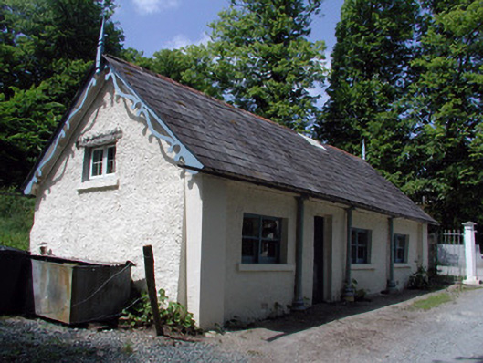 Killegar Housegate lodge · 611 yd
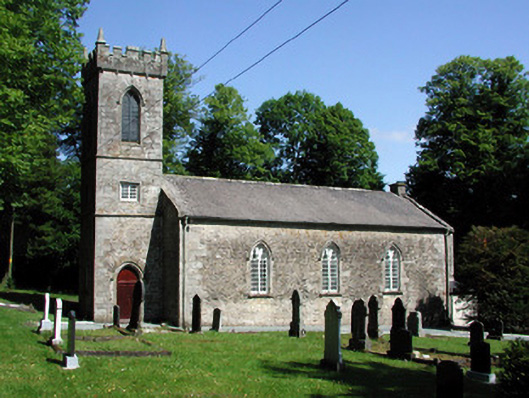 Killegar Church (Carrigallen)church/chapel · 653 yd
 Killygar WoodForest · 711 yd
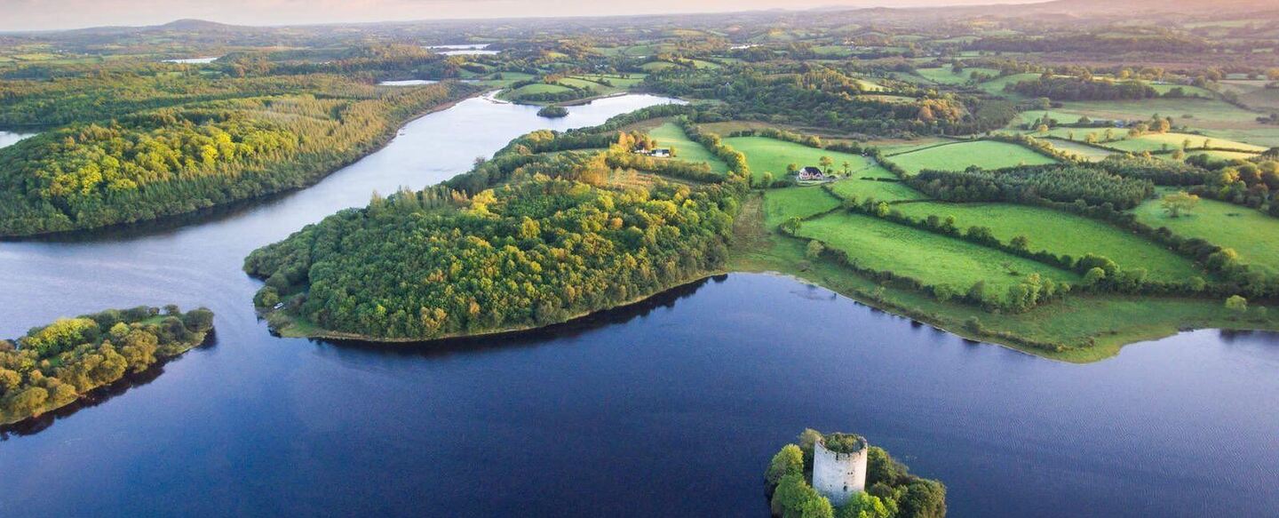 IndicatedFairy fort / ringfort · 1.1 mi
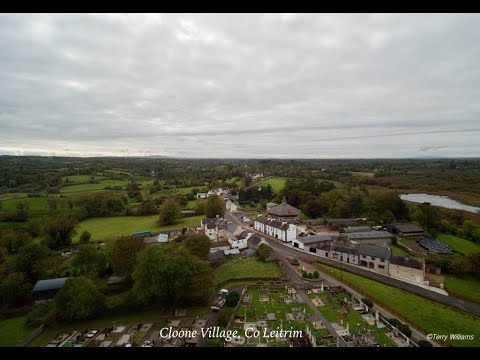 Enclosure in DrumhalryEnclosure · 1.5 mi
 DrummuckerMountain / peak · 2.2 mi
 Evlagh MoreMountain / peak · 2.5 mi
 King's GraveArchaeological place · 2.5 mi
 Killeshandra Irish Countrywomen's Association 70th AnniversaryMemorial · 2.9 mi
 Crane IslandIslet · 4.5 mi
 BatteryBawn · 4.5 mi