What is recorded here
In pasture, on a gentle SE-facing slope. This possible rath is not visible at ground level though a low rise (diam. c. 35m) is visible in the vicinity. It was indicated on the 1846 OS 6-inch map as a circular enclosure (diam. c. 40m). This may be one of two raths (see KE065-018----) mentioned in the 1940s as being in the same field and 'about 200 yards [183m] apart' in Kelly's farm (Schools Manuscript, Co. Kerry). One rath was described as being 'very big' with 'two earthen circular rings' and the other was a 'single ring fort' (Schools Manuscript, Co. Kerry).
Compiled by: Elizabeth Byrne, Ursula Egan and Sheila Ronan, Archaeological Survey Unit, University College, Cork.
Date of upload: 31 January 2011
The monument record does not grant public access. Check the route and ask the landowner before entering private land.
- What survives
- Recorded monument
Places near here
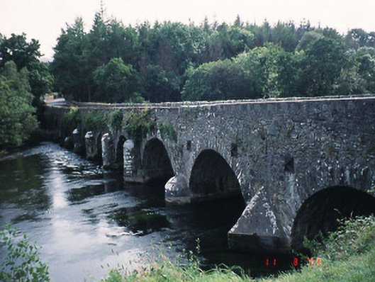 Beaufort Bridgebridge · 1028 yd
 Pallis Castle (Site of)Castle, tower house · 1031 yd
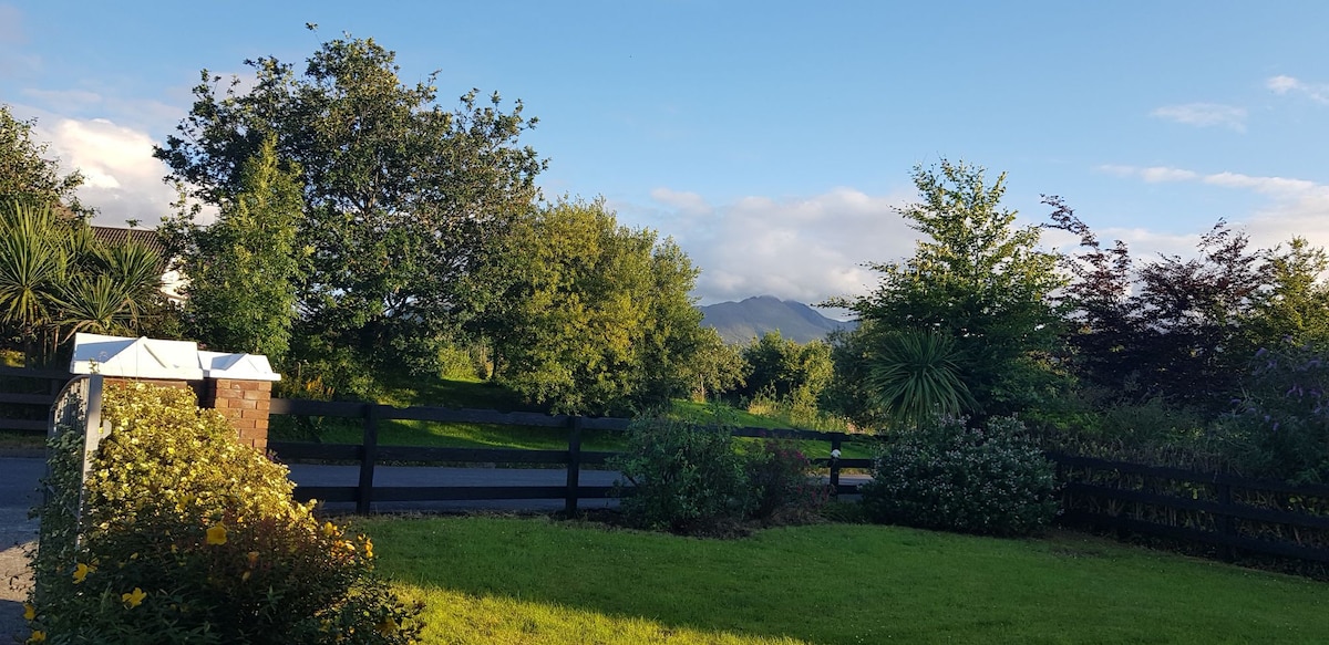 Man-made underground passage in BeaufortMan-made underground passage · 1099 yd
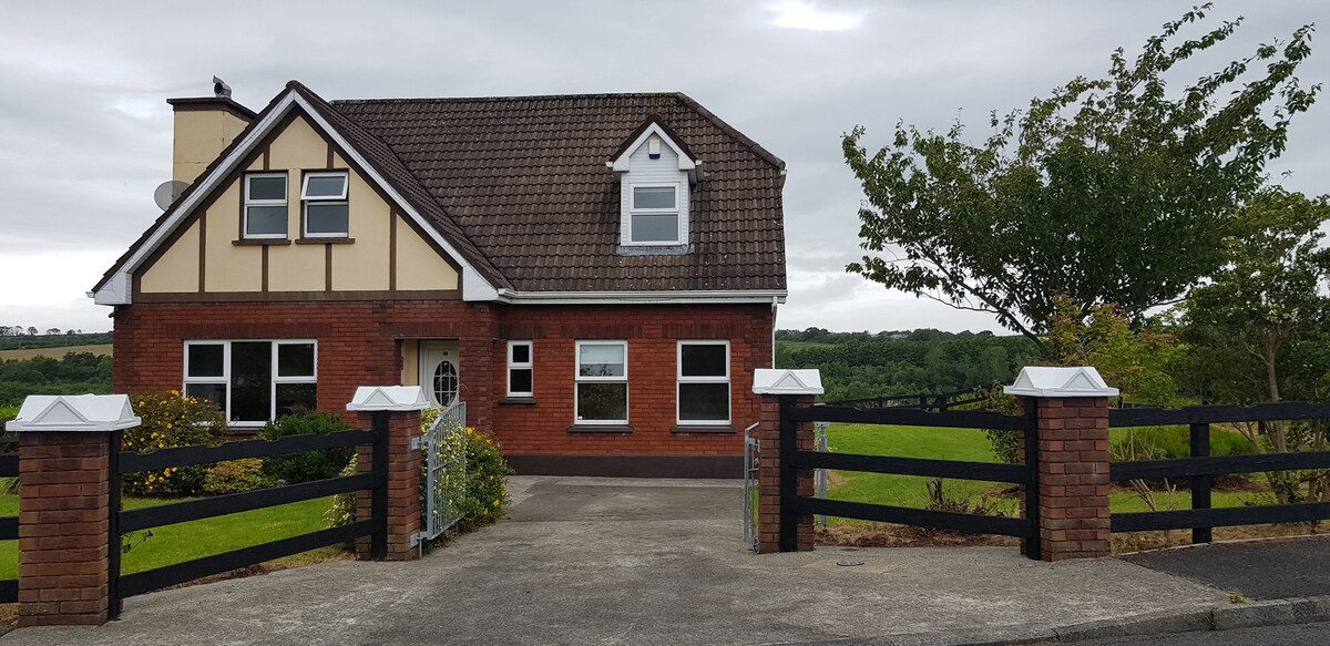 LissaphucaFairy fort / earthen ringfort · 1113 yd
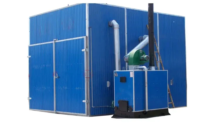 KilnKiln, corn-drying · 1236 yd
 CastleCastle, tower house · 1377 yd
 Japanese pagoda treeJapanese pagoda tree · 1.4 mi
 Dunloe Ogham StonesHeritage attraction · 1.4 mi
 European YewEuropean Yew · 1.4 mi
 The Kerry Creamery ExperienceHeritage attraction · 2.6 mi
 Rabbit or Brown IslandIslet · 3.7 mi
 Tomies Mountain North TopMountain / peak · 3.7 mi