What is recorded here
The fairy fort or earthen ringfort in Lackanatlieve is in County Sligo, Ireland. It sits on a low hillock in undulating pasture and has a raised circular platform enclosed by an earthen bank. A shallow depression and level terrace surround the base while a break and ramp-like causeway mark the entrance. Quarry holes and small mounds of upcast remain inside the enclosed area.
Situated on a low hillock in undulating pasture. Raised circular platform (23m E-W; 21m N-S), enclosed at top by an earthen bank (Wth 2-3m; int. H 0.3-0.6m). The external slope of the bank merge with the sides of the hillock (H c. 6.5m). At the foot of the mound at NW-E a fosse is evident as a shallow depression (Wth 3.5m; max. D 0.6m) which changes at SE-W to a level terrace (Wth 3-4m; ext. H 0.5m). A break (Wth 2.8m) in the bank at NE, with a ramp-like causeway (Wth 2m) racross the fosse, represents the original entrance. There are a number of quarry holes and accompanying mounds of upcast within the enclosed area.
Compiled by: Patrick F. O'Donovan
Date of upload: 19 January 2011
The monument record does not grant public access. Check the route and ask the landowner before entering private land.
- What survives
- Recorded monument
Places near here
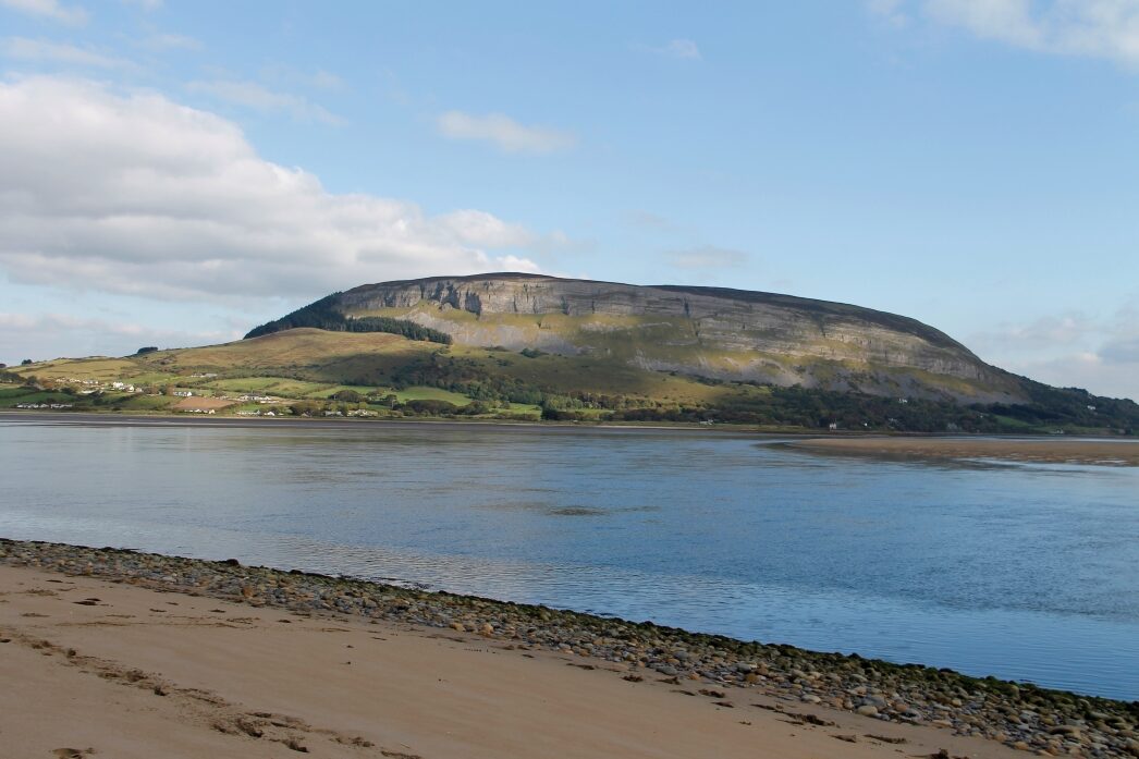 IndicatedFairy fort / earthen ringfort · 357 yd
 Enclosure in BallinteaneEnclosure · 1.2 mi
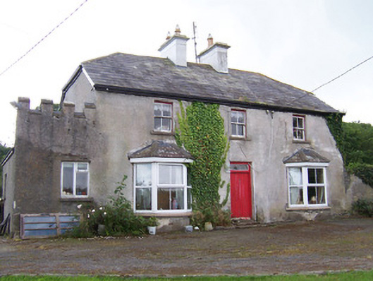 Meadowsidehouse · 1.6 mi
 Grave of the Black PigArchaeological place · 1.7 mi
 Church (in Ruins)Church · 1.7 mi
 Wild Atlantic Way: Inishcrone PierVisitor information · 2.2 mi
 The Black PigMemorial · 2.3 mi
 Enniscrone BeachBeach / strand · 2.7 mi
 Castle FirbisCastle, tower house · 2.8 mi
 CastleCastle, unclassified · 3.2 mi
 Goose IslandIslet · 4.1 mi
 Rinnachurry PointHeadland · 4.1 mi