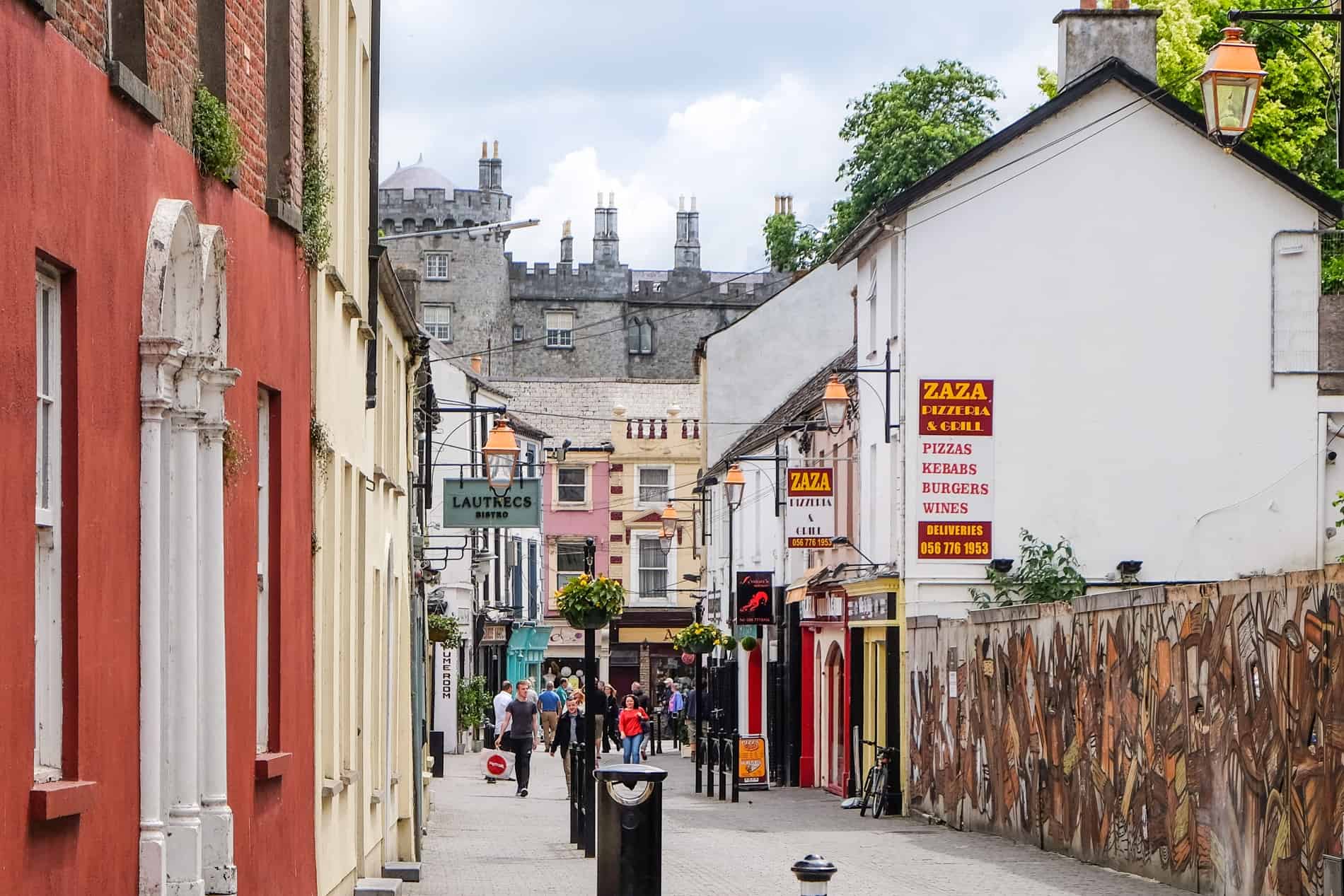
What is recorded here
Indicated as a roughly circular enclosure (diam. c. 40m) on the 1st (1839) ed. OS 6-inch map and as a five-sided enclosure on the 1948 revision, probably where the bank as straightened by later field boundaries. The enclosure was levelled in 1955 (pers. comm. J. Maher, 1986). Kings River flows roughly N-S c. 570m to the W and an undulating townland boundary, which appears to follow the line of a stream, runs roughly E-W c. 30m to the N.
Compiled by: Jean Farrelly
Date of upload: 9 May 2022
The monument record does not grant public access. Check the route and ask the landowner before entering private land.
- What survives
- Recorded monument
Places near here
 IndicatedEnclosure · 471 yd
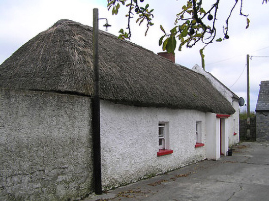 farm housefarm house · 1.2 mi
 Modeshil Church (in ruins)Church · 1.4 mi
 Modeshil Castle (in ruins)Castle · 1.4 mi
 Enclosure in Jamestown (modeshil Par.)Enclosure · 1.6 mi
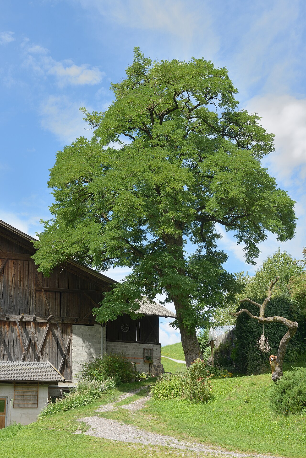 Black LocustBlack Locust · 2.0 mi
 Pedunculate OakPedunculate Oak · 2.0 mi
 West CourtCastle, unclassified · 2.3 mi
 Edmund Rice Heritage CentreMuseum · 2.3 mi
 Callan Co-operative Agricultural & Dairy Society Ltd.Memorial · 2.4 mi
 Green StreetVisitor information · 2.4 mi
 Edmund Rice MemorialMemorial · 2.4 mi
Other information
Photo: Credit not shown in the picture search · Rights wording not checked; contact us if this picture should be removed