What is recorded here
Marked as small circular embanked enclosure (diam. c. 15m) on the 1839 ed. of the OS 6-inch map. It is situated on a fairly level landscape at a point where two field banks now meet, and with a small NW-SE stream c. 100m to the S. No antiquity is visible at ground level.
From the National Monuments Service (Archaeological Survey of Ireland) record WX046-021
Places near here
Photo credits
- National Inventory of Architectural Heritage
- Andreas F. Borchert, Wikimedia Commons · CC BY-SA 4.0
- kevin higgins, Geograph · CC BY-SA 2.0
- Pam Brophy, Wikimedia Commons · CC BY-SA 2.0
- kevin higgins, Wikimedia Commons · CC BY-SA 2.0
- Oliver Dixon, Geograph · CC BY-SA 2.0
- Mike Searle, Geograph · CC BY-SA 2.0
- Richard Webb, Geograph · CC BY-SA 2.0
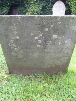 graveyard/cemetery1508 yd
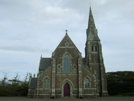 Catholic Church of the Assumption and Saint Laurence O'TooleChurch/chapel · 1618 yd
 Font in BallyconnickFont · 1.3 mi
 Cull IslandIsland · 2.8 mi
 Coolhull CastleHouse, fortified house · 3.5 mi
 Ballyteigue BurrowNature reserve · 3.6 mi
 Carrickatinna RockMountain / peak · 3.9 mi
 Windmill4.2 mi
 Cullenstown StrandBeach / strand · 4.6 mi
 Danes Castle (in ruins)Castle, tower house · 4.7 mi
 Forth MountainMountain / peak · 5.5 mi
 Keeragh IslandsIsland · 5.9 mi
More archaeology and monuments in County Wexford · All of County Wexford
What do you know about this place?Tap to add a comment or ask a question