What is recorded here
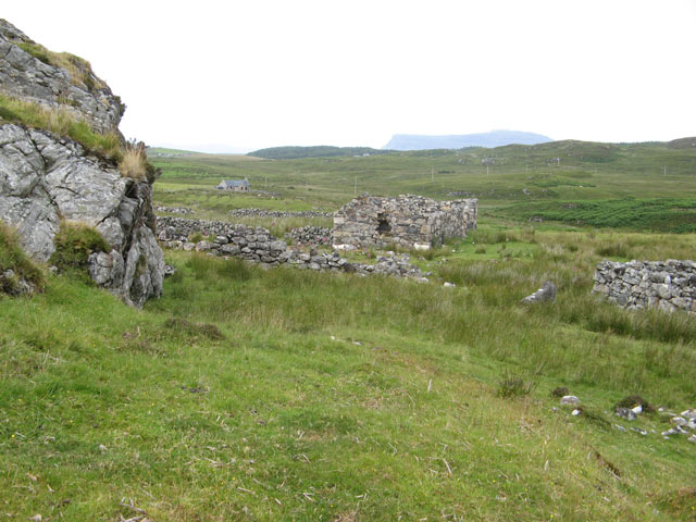
In hilly pasture, located at the S end of a N–S spur of raised ground, utilising the natural fall of ground to E, S and W. Extensive views, especially to S over a broad sweep of lowlying pasture and bog.
A circular embanked enclosure (diam. c. 35-40m) is shown on the 1838 OS 6-inch map, with a quarry pit (diam. c. 20m) immediately to E and two vernacular houses c. 30m to SE; it is not shown on later map editions.
The remains consist of a sub-circular grassed-over area (c. 40 m E–W; c. 44m N–S) of severely disturbed and quarried ground. A broadly sloping curving scarp (H c. 2m), merging with the natural fall of ground, can be discerned at S and W, and may be the remnants of an original enclosing element.
Compiled by: Jane O’Shaughnessy
Date of upload: 30 November 2021
The monument record does not grant public access. Check the route and ask the landowner before entering private land.
- What survives
- Recorded monument
Places near here
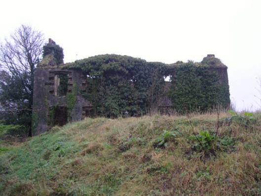 Oxford Housefarm house · 974 yd
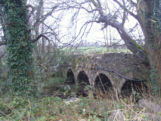 bridgebridge · 1118 yd
 Carrowbeg WoodWood · 1494 yd
 LismeelEnclosure · 1644 yd
 CashlankeeghCastle, unclassified · 1.1 mi
 Enclosure in BallinamoreEnclosure · 1.5 mi
 I'll Send You The FareMemorial · 1.6 mi
 Kiltimagh MuseumMuseum · 1.7 mi
 Thorn CaveCave · 4.2 mi
 CastleCastle, ringwork · 4.9 mi
 Knock ShrineHeritage attraction · 6.1 mi
 East Mayo Brigade MonumentMemorial · 7.5 mi
Other information
Photo: Credit not shown in the picture search · Rights wording not checked; contact us if this picture should be removed