
What is recorded here
Marked as a circular enclosure (ext. diam. c. 40m) on the 1837 and 1915 eds of the OS 6-inch map, and situated at the E end of an undulating and interrupted E-W esker ridge. Circular overgrown area (diam. c. 25-30m) defined by a collapsed stone wall with facing-stones (original Wth 1.75m). Rath (RO048-146001-) is c. 100m to the W.
Compiled by: Michael Moore
Date of upload: 24 August 2010
The monument record does not grant public access. Check the route and ask the landowner before entering private land.
- What survives
- Recorded monument
Places near here
 Embanked enclosureFairy fort / earthen ringfort · 167 yd
 R. C. ChapelBuilding · 1.0 mi
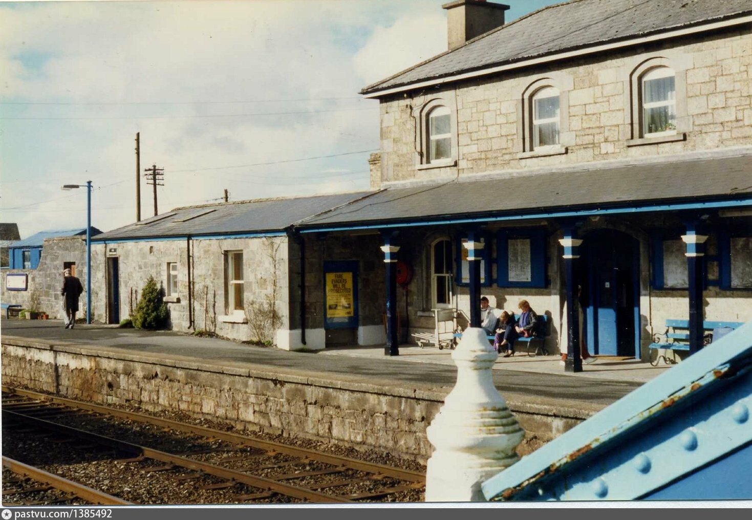 Penitential station in BrideswellPenitential station · 1.0 mi
 Sweathouse in EskerbaunSweathouse · 1.7 mi
 CastlesampsonCastle, tower house · 2.0 mi
 Curraghboy CastleCastle, unclassified · 2.3 mi
 Bally BayBay · 3.7 mi
 Hodson's BayBay · 3.7 mi
 Hodson's PillarIslet · 3.8 mi
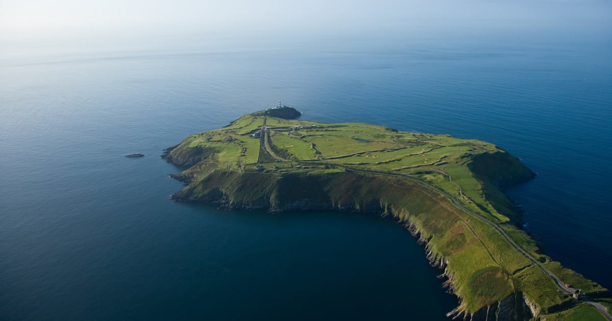 Sedgy IslandIslet · 3.8 mi
 Sheep HillMountain / peak · 4.2 mi
 Siege of Athlonesiege · 4.9 mi
Other information
Photo: Credit not shown in the picture search · Rights wording not checked; contact us if this picture should be removed