What is recorded here
In undulating grassland. Very poorly preserved subcircular rath (NNW-SSE 33.8m, ENE-WSW 27m) defined by a bank from ENE to SSE, and elsewhere by a scarp. At WSW and ENE a field boundary cuts the monument.
The above description is derived from the published 'Archaeological Inventory of County Galway Vol. II - North Galway'. Compiled by Olive Alcock, Kathy de hÓra and Paul Gosling (Dublin: Stationery Office, 1999).
Date of upload: 05 August 2010
The monument record does not grant public access. Check the route and ask the landowner before entering private land.
- What survives
- Recorded monument
Places near here
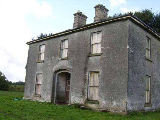 Killaghbeg Househouse · 1237 yd
 Mass-rock in Newcastle (aughrim Par.)Mass-rock · 1380 yd
 IndicatedKiln, lime · 1448 yd
 Enclosure in CorraneenaEnclosure · 1747 yd
 Kilconnell AbbeyHeritage attraction · 1.8 mi
 CastleCastle, unclassified · 1.9 mi
 Site of Lisnamoltaun CastleCastle, unclassified · 2.2 mi
 Oak WoodWood · 2.8 mi
 Large-leaved LimeLarge-leaved Lime · 3.2 mi
 Battle of Aughrim Interpretative CentreMuseum · 3.4 mi
 Battle of AughrimMajor battlefield · 3.7 mi
 The bloody HollowHeritage attraction · 4.1 mi