What is recorded here
Located on a NE-facing slope. It is depicted as a small circular enclosure (diam. c. 5m) on the 1834 edition of the OS 6-inch map where it is described in italic lettering as a ‘mound’. It is depicted similarly on the 1907 edition of the map. The feature has been quarried away. According to Shirley (1879, 536) the mound at Knocknacran East was opened in 1860 but nothing was found. It has been quarried away.
The above description is derived from the published 'Archaeological Inventory of County Monaghan' (Dublin: Stationery Office, 1986). In certain instances the entries have been revised and updated in the light of recent research.
Date of revision: 31 July 2017
The monument record does not grant public access. Check the route and ask the landowner before entering private land.
- What survives
- Recorded monument
Places near here
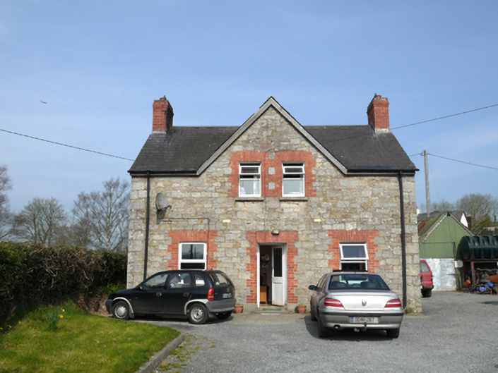 teacher's houseteacher's house · 482 yd
 Catholic Church of Saint Peter and Saint Paulbell tower/stand · 552 yd
 Chruch YardGraveyard · 1377 yd
 frotFairy fort / earthen ringfort · 1606 yd
 Drumerlough MoreMountain / peak · 1.6 mi
 Monkey-puzzleMonkey-puzzle · 1.7 mi
 European BeechEuropean Beech · 1.9 mi
 Natural Play AreaMemorial · 2.2 mi
 In Memory of Our DadMemorial · 2.3 mi
 Castle ruinsCastle, unclassified · 2.3 mi
 CabraMountain / peak · 2.6 mi
 Castle in ruinsCastle, unclassified · 4.7 mi