What is recorded here
Situated in a hollow at the base of a S-facing slope and with a small pond c. 50m to the SW. This is a grass-covered oval mound (dims 20m NE-SW; 11.5m NW-SE; max. H 0.4m), with an indentation (dims 3m x 3m) for the trough on the NW side. Rath (ME011-030----) is c. 75m to the NNW and rath (ME011-031----) is c. 60m to the ENE.
The above description is derived from the published 'Archaeological Inventory of County Meath' (Dublin: Stationery Office, 1987). In certain instances the entries have been revised and updated in the light of recent research.
Compiled by: Michael Moore
Date of revision: 9 April 2019
The monument record does not grant public access. Check the route and ask the landowner before entering private land.
- What survives
- Recorded monument
Places near here
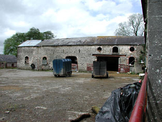 Williamstownoutbuilding · 958 yd
 Addie's WoodWood · 982 yd
 ChapelChurch · 982 yd
 Zephyr Bog WoodWood · 1036 yd
 St. Patricks WellHoly well · 1.1 mi
 Standing StoneArchaeological place · 1.2 mi
 John Mac MahonMemorial · 1.2 mi
 DeerparkMountain / peak · 1.3 mi
 MountainpoleMountain / peak · 1.5 mi
 Kells Anglers Association MemorialMemorial · 1.7 mi
 Moynalty Steam Threshing MuseumMuseum · 2.1 mi
 Moat of KilbegCastle, motte and bailey · 2.4 mi