What is recorded here
O’Donovan, who along with O’Conor and O’Keeffe compiled the OS Letters for Co. Kildare, visited Dún Ailinne (KD028-038001-) in 1837, and recorded a ‘Rath on the apex of the hill’ on his sketch plan of the monument. He described it as, ‘… now much effaced, but from the segment of its circle remaining I calculate it to have been about 100 feet [c. 30m] in diameter. Within this fort there is another which is somewhat of a square form but of very small dimensions, and in its west mound are two rough mountain stones of considerable size. One of these might be the Ail … [a possible standing stone (KD028-038004-) from which Dún Ailinne derived its name]’ (Herity 2002, 130 [120-21]). Writing some 60 years later, OMURETHI (1902-3, 362) recorded, ‘On the very top [of the hill] there are traces of a rath-like enclosure, and inside this again is a square excavation containing what looks like a very large grave; whether these are ancient remains, or were made in 1798 when “the Croppies” had a camp on the summit, is now impossible to say. An old resident in the locality said the Boys who were out in ’98 used this place as a kitchen.’ A circular enclosure (est. diam c. 40m) is recorded on the 1st ed. (1839) of the OS 6-inch map, which also shows a Trigonometrical Station (OD 600 feet) on the WNW limits of the enclosure. An earthwork is recorded at the location on the OS 25-inch map as a C-shaped, but almost right-angled, arc of substantial bank running from SSE-NNW (est. L c. 48m) which angles sharply to run ENE (est. L c. 33m). A circular hollow or depression (est. diam c. 10m) is shown, partially enclosed just to the E. The area was archaeologically excavated by Wailes (1990, 19: Footnote 1). He concluded that the arc of bank noted by O’Donovan never part of a complete circle and described the associated internal ‘fosse’ as, ‘more a series of connected pits than a true ditch’. He found no real trace of the ‘somewhat square’ fort noted by O’Donovan. The area had been disturbed and modern finds, including a rifle cartridge and military badge, attested to British Army activity on the hill. Though it yielded no dating evidence, the earthwork did post-date the Iron Age levels in Dún Ailinne.
Compiled by: Gearóid Conroy
Date of upload: 15 July 2013
This monument is subject to a preservation order made under the National Monuments Acts 1930 to 2014 (PO no. 200/1954).
The monument record does not grant public access. Check the route and ask the landowner before entering private land.
- What survives
- Recorded monument
Places near here
 Enclosure in KnockaulinEnclosure · 13 yd
 Dún AilinneArchaeological place · 57 yd
 Church (in Ruins)Church · 1395 yd
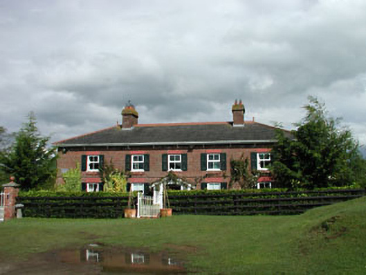 Sunnyhill Cottagehouse · 1439 yd
 Castle in RuinsCastle, tower house · 1.2 mi
 ElderElder · 1.8 mi
 1798 memorial stoneMonument · 1.8 mi
 Coillte ForestForest · 1.8 mi
 Castlefish (in Ruins)Castle, unclassified · 2.2 mi
 Newbridge SilverwareMuseum · 4.3 mi
 Battle of Kilrushbattle · 5.1 mi
 Gorden Bennet Race memorialMemorial · 8.5 mi