
What is recorded here
In pasture, located at the break of slope on the W side of a natural terrace or rise. A bedrock scarp with a steep drop, borders the W edge of the terrace. It is located close to the townland boundary at the W end of the townland.
Raised oval area (28.9m N–S; 22.4m E–W) defined by a substantial stony earthen bank (Wth 4.7m at N and S; int. H 0.5m at N, 0.65m at S; ext. H 1.5m at N, 1.8m at S). The bank is well defined, rounded in profile. An eroded section at NW reveals an earthen make-up with a core of angular, slatey stones. On the W side, the bank is noticeably less substantial (Wth 2.8m; H 0.5m). Outside it is a narrow berm (Wth c. 0.5m) from which the natural bedrock scarp (H c. 5.5m) falls abruptly. A very shallow depression (Wth c. 4.5m; D 0.2m) is evident outside the bank at N, which might indicate a fosse, but it cannot be traced elsewhere around the circuit.
The interior is level, grassy and featureless. There is a rather narrow gap (Wth 1.2m) in the bank at the E, with stones protruding from the sod around its edges, but is unclear if this is the original entrance.
There is another rath (MA022-065----) 100m to W.
Compiled by: Jane O’Shaughnessy
Date of upload: 2 May 2019
A local fairy fort (ringfort/rath); wider significance not recorded.
The monument record does not grant public access. Check the route and ask the landowner before entering private land.
- What survives
- Recorded monument
Places near here
 RathduffFairy fort / earthen ringfort · 131 yd
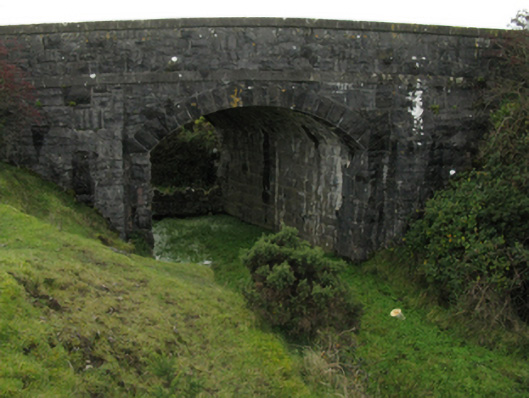 bridgebridge · 909 yd
 CastleCastle, unclassified · 963 yd
 Sandland FortFairy fort / earthen ringfort · 1021 yd
 Church in RuinsChurch · 1.2 mi
 Ballysakeery CastleCastle, unclassified · 1.2 mi
 Gortabradawn PointHeadland · 1.2 mi
 Moyne AbbeyHeritage attraction · 1.4 mi
 Battlefields of MoyneBattlefield · 1.6 mi
 Barnasock PointHeadland · 1.6 mi
 Goose IslandIslet · 1.7 mi
 Rosserk AbbeyHeritage attraction · 1.8 mi
Other information
Photo: Credit not shown in the picture search · Rights wording not checked; contact us if this picture should be removed