
What is recorded here
From the National Monuments Service (Archaeological Survey of Ireland) record RO041-039
Places near here
Photo credits
- Maker not stated on source page, commons.wikimedia.org
- National Inventory of Architectural Heritage
- RosCamán, Roscommon official hurling development committee; individual aerial photographer not stated, roscaman.ie
- Maker not stated on source page, www.tripadvisor.ca
- Maker not stated on source page, en.wikipedia.org
- Kk, Wikimedia Commons · CC0
- Maker not stated on source page, www.pinterest.com
- Maker not stated on source page, www.alamy.com
- Sitomon, Wikimedia Commons · CC BY-SA 2.0
- St Ciaran’s Ladies Gaelic Football Club / Roscommon Herald; photographer not named, www.roscommonherald.ie
- Maker not stated on source page, ru.wikipedia.org
- Maker not stated on source page, au.pinterest.com
 Earthwork in KnockadanganEarthwork · 387 yd
Explorer Tom Earthwork in Knockadangan is playing hide-and-seek so well it’s invisible. A bank that exists only on a map from 1928?…
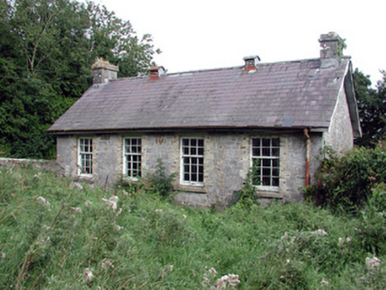 Saint Patrick's National SchoolSchool · 413 yd
Explorer Tom Saint Patrick's National School in Scardaun is hiding a scandal that involves the bargeboards dancing at midnight when…
 Tremane GAA Grounds, Tremane Hurling ClubGAA ground · 703 yd
 Fairy fort / stone ringfort in LisnalannowFairy fort / stone ringfort · 1488 yd
Explorer Tom Fairy fort / stone ringfort in Lisnalannow loves 'Bohemian Rhapsody' because it’s a bit of a mess with stones scattered…
 CastleCastle, unclassified · 1698 yd
Explorer Tom Castle at Cloonyourish was owned by the Earl of Clonrickard, who definitely had taste. Saint Patrick would have called…
 European Crab Apple2.0 mi
Explorer Tom European Crab Apple in County Roscommon claims to be three hundred years old, but I think it’s just lying to get more…
 Inscribed stone (present location) in CoollustyInscribed stone (present location) · 2.1 mi
Explorer Tom Inscribed stone in Coollusty has had a name on it since 1643 and still hasn't stopped having opinions about modern…
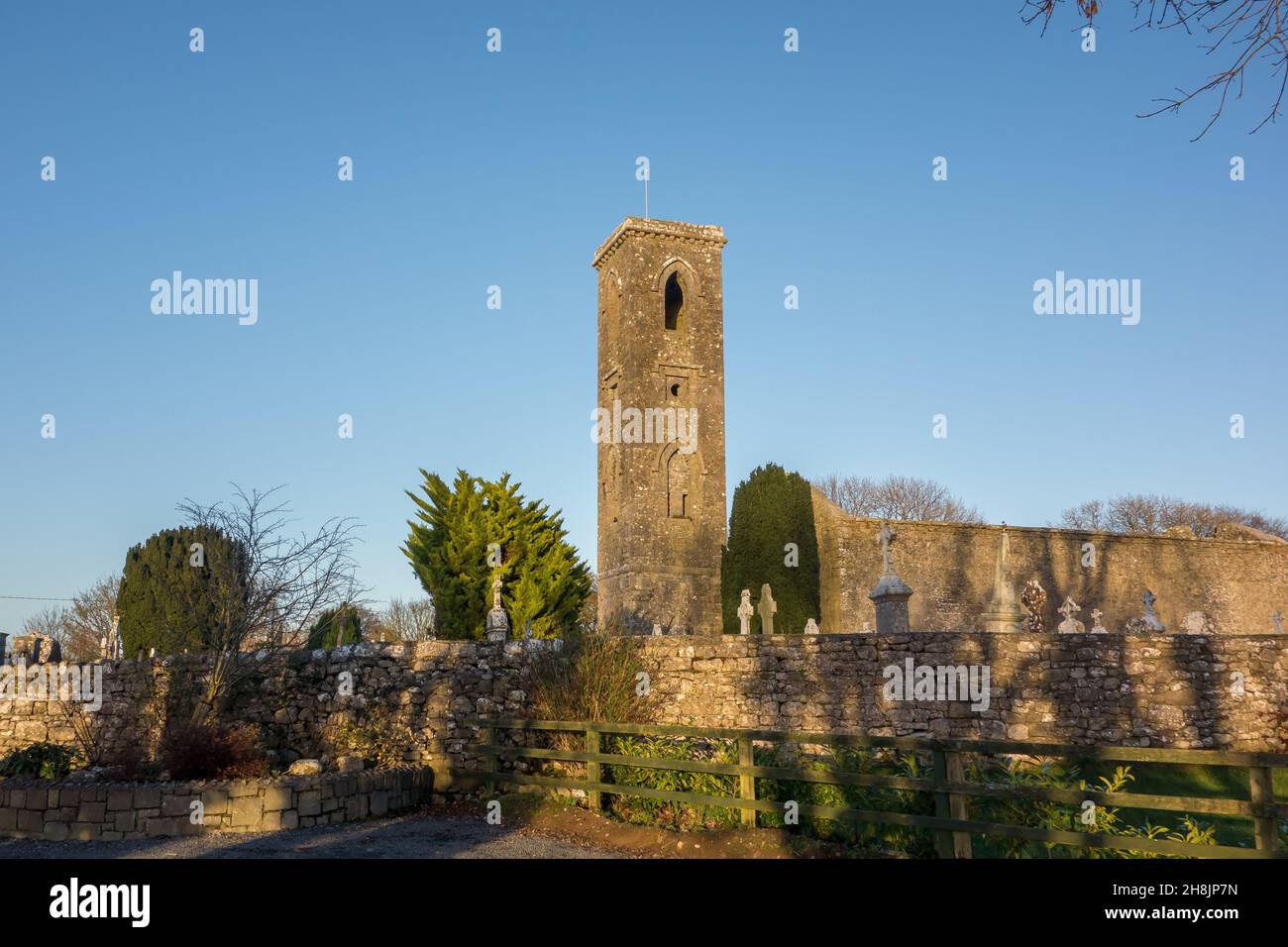 Church in LisnateaChurch · 3.1 mi
Explorer Tom Church in Lisnatea had an escape plan involving a secret tunnel that probably led straight to a pub down the valley.…
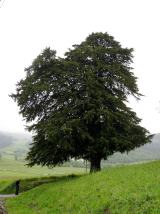 European Yew4.2 mi
Explorer Tom European Yew in County Roscommon had a cow try to buy it once, which is either genius or absolute madness. The tree…
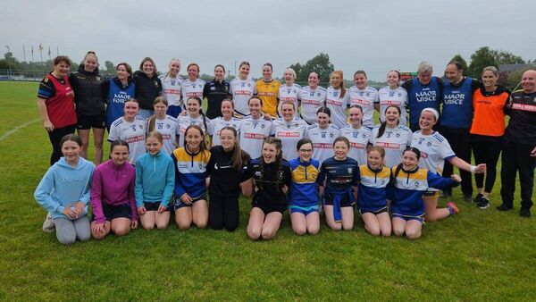 Mulhern Park, Fuerty GAAGAA ground · 4.4 mi
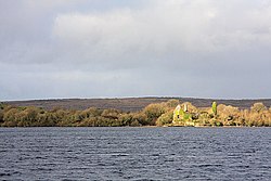 InchaquinIslet · 4.4 mi
Explorer Tom Inchaquin in County Roscommon has stones that are whispering messages to anyone who listens close enough, but they’re…
 Mapped cemeteryCemetery · 6.6 mi
Explorer Tom This Mapped Cemetery in County Galway would complain to the council about the overgrown grass covering up its best…
More archaeology and monuments in County Roscommon · All of County Roscommon

What do you know about this place?Tap to add a comment or ask a question