What is recorded here
Listed in both the SMR (1989) and RMP (1995) and classified 'Field System'. On a S-facing slope of the Ox Mountains. A system of ruined field boundaries, which covers an area (c. 250m x 110m) and encloses small oval and irregular fields, is visible in an aerial photograph (IASAP, 3033111-2). Most of these fields are not shown on the 1838 edition of the OS 6-inch map but all are on the 1913 edition. The field system probably dates to the post-1700 AD period.
Compiled by: Archaeological Survey Unit, UCC
Date of upload: 14 December 2011
The monument record does not grant public access. Check the route and ask the landowner before entering private land.
- What survives
- Recorded monument
Places near here
 IndicatedFairy fort / stone ringfort · 110 yd
 Holy WellHoly well · 368 yd
 Tullaghan HillMountain / peak · 413 yd
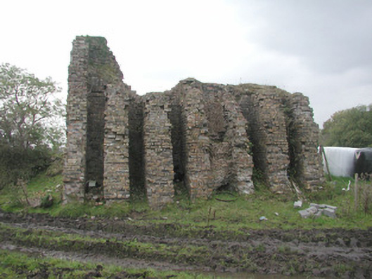 Coolaney Brick Workskiln · 421 yd
 Moymlough Castle (in Ruins)Castle, tower house · 1596 yd
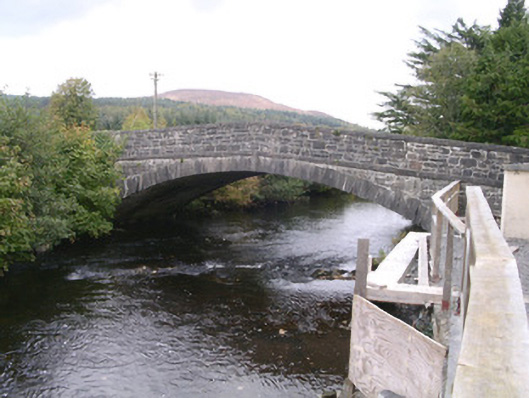 bridgebridge · 1703 yd
 DoomoreMountain / peak · 1.1 mi
 RinnatalleenHeadland · 2.4 mi
 Castle (Site of)Castle, unclassified · 3.3 mi
 Teeling MonumentMemorial · 3.6 mi
 Battle of Collooneybattle · 3.6 mi
 Union RockForest · 4.4 mi